UN/LOCODE hub · Germany
DEFWM

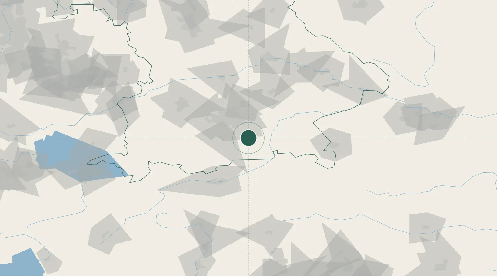
Feldkirchen-Westerham

47.9000°, 11.8333°
10,399
Population
1
Transport functions

Transport Functions

Multimodal
UN/LOCODE

Hub Profile

Place type
Local administrative seat
GeoNames
Region
Bavaria
GeoNames
Population
10,399
GeoNames
Time zone
Europe/Berlin
GeoNames
Elevation
553 m
GeoNames

Location

Location of DEFWM
Natural Earth 10m (public domain) · Bavaria · DEFWM · 47.90, 11.83GoogleOSMYandex

Nearby Logistics Neighbours

Cities
  1. 1Grosshelfendorf6 km
  2. 2Bruckmühl7 km
  3. 3Aying8 km
  4. 4Glonn (Ebersberg)10 km
  5. 5Irschenberg10 km
Nearest neighbours — logibook spatial index (haversine) over the source coordinates
Ports
  1. 1Nogaro259 km
  2. 2Grado269 km
  3. 3Monfalcone269 km
  4. 4Porto Di Lido-Venezia280 km
  5. 5Trieste289 km
Nearest neighbours — logibook spatial index (haversine) over the source coordinates
Airports
  1. 1Oberpfaffenhofen Airport46 km
  2. 2Munich Airport51 km
  3. 3Altstetten Ultralight Field61 km
  4. 4Landshut Airfield70 km
  5. 5Lechfeld Air Base79 km
Nearest neighbours — logibook spatial index (haversine) over the source coordinates
Trade Zones
  1. 1Freeport of Deggendorf132 km
  2. 2Livigno Free Trade Zone201 km
  3. 3Free Port of Venice277 km
  4. 4Consorzio Zona Industriale e Porto Fluviale di Padova279 km
  5. 5Podbořany Industrial Zone283 km
Nearest neighbours — logibook spatial index (haversine) over the source coordinates
DatabookThe Record of Consolidated Knowledge
Germany beyond logistics?
Browse databook

All Sources

LocationsUN/LOCODE
UN/LOCODE — free
LocationsGeoNames
CC BY 4.0
Portsthe NGA World Port Index
Public domain (US gov)
AirportsOurAirports
Public domain
Trade Zonesthe World Bank SEZ database
CC BY 4.0
Trade ZonesOpen Zone Map
CC BY
← Germany locations