Transport Functions
Multimodal
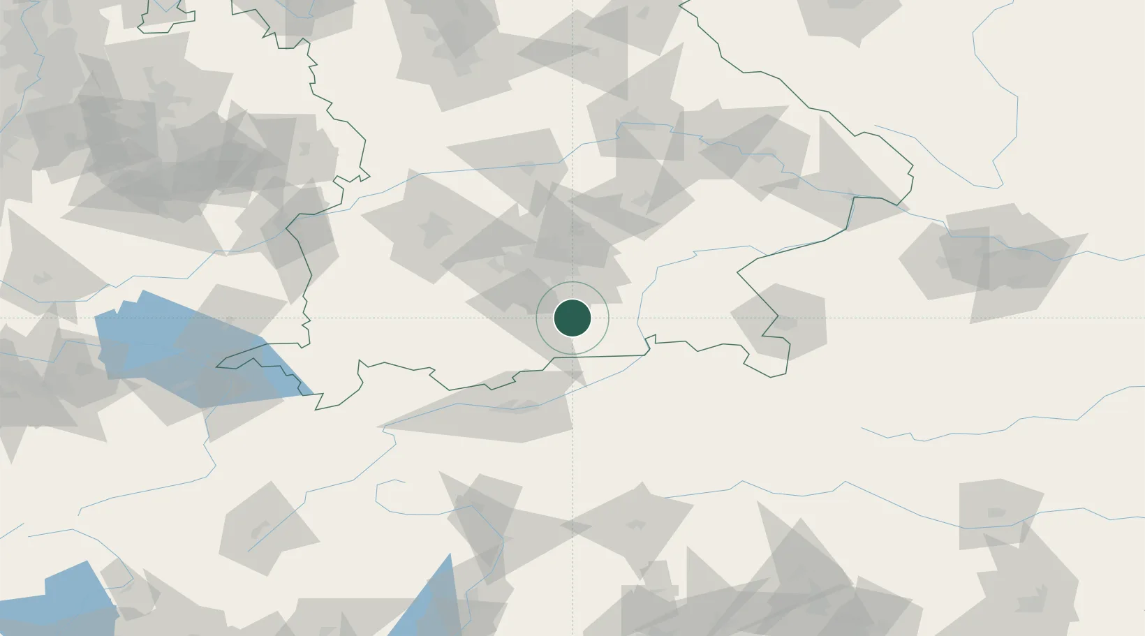
Hub Profile
Place type
Local administrative seat
Region
Bavaria
Population
3,600
Time zone
Europe/Berlin
Elevation
721 m
Location
Nearby Logistics Neighbours
Cities
- 1Gmund am Tegernsee9 km
- 2Otterfing10 km
- 3Feldkirchen-Westerham11 km
- 4Irschenberg14 km
- 5Grosshelfendorf14 km
Ports
- 1Nogaro255 km
- 2Grado266 km
- 3Monfalcone267 km
- 4Porto Di Lido-Venezia274 km
- 5Trieste287 km
Airports
- 1Oberpfaffenhofen Airport43 km
- 2Munich Airport58 km
- 3Altstetten Ultralight Field62 km
- 4Innsbruck Airport70 km
- 5Lechfeld Air Base76 km
Trade Zones
- 1Freeport of Deggendorf142 km
- 2Livigno Free Trade Zone190 km
- 3Free Port of Venice271 km
- 4Consorzio Zona Industriale e Porto Fluviale di Padova272 km
- 5Free Port of Trieste288 km
DatabookThe Record of Consolidated Knowledge
Germany beyond logistics?