Transport Functions
Multimodal
Hub Profile
Place type
Local administrative seat
Region
Bavaria
Population
3,079
Time zone
Europe/Berlin
Elevation
729 m
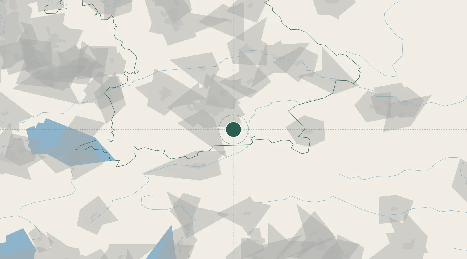
Location
Nearby Logistics Neighbours
Cities
- 1Heufeld5 km
- 2Bruckmühl6 km
- 3Feldkirchen-Westerham10 km
- 4Warngau14 km
- 5Grosskarolinenfeld15 km
Ports
- 1Nogaro250 km
- 2Monfalcone260 km
- 3Grado260 km
- 4Porto Di Lido-Venezia272 km
- 5Trieste280 km
Airports
- 1Oberpfaffenhofen Airport55 km
- 2Munich Airport59 km
- 3Altstetten Ultralight Field70 km
- 4Landshut Airfield76 km
- 5Innsbruck Airport77 km
Trade Zones
- 1Freeport of Deggendorf134 km
- 2Livigno Free Trade Zone200 km
- 3Free Port of Venice269 km
- 4Consorzio Zona Industriale e Porto Fluviale di Padova272 km
- 5Free Port of Trieste281 km
DatabookThe Record of Consolidated Knowledge
Germany beyond logistics?