Transport Functions
Multimodal
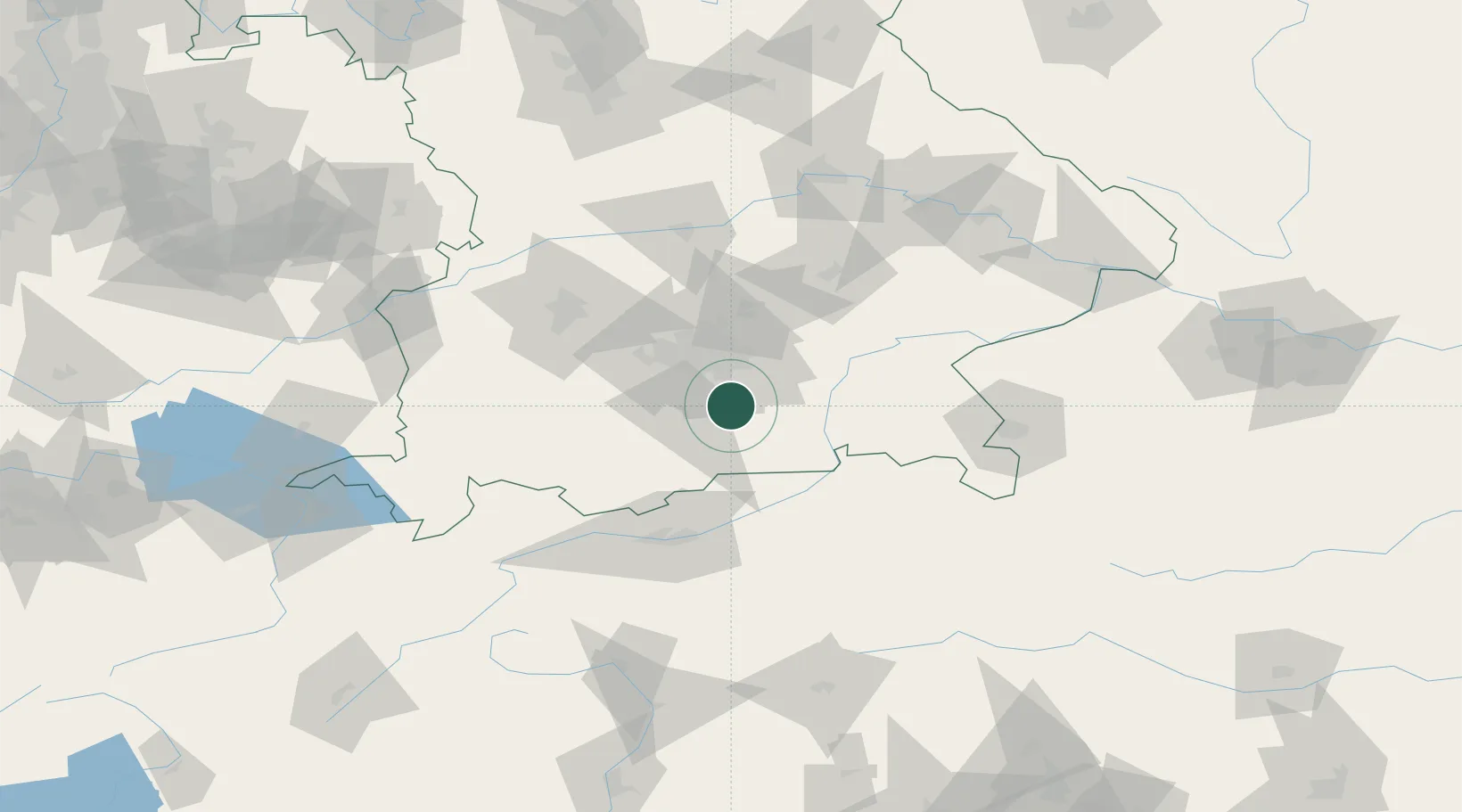
Hub Profile
Place type
Local administrative seat
Region
Bavaria
Population
4,383
Time zone
Europe/Berlin
Elevation
677 m
Location
Nearby Logistics Neighbours
Cities
- 1Aying9 km
- 2Grosshelfendorf9 km
- 3Warngau10 km
- 4Brunnthal11 km
- 5Hohenkirchen11 km
Ports
- 1Nogaro265 km
- 2Grado276 km
- 3Monfalcone276 km
- 4Porto Di Lido-Venezia284 km
- 5Trieste297 km
Airports
- 1Oberpfaffenhofen Airport35 km
- 2Munich Airport49 km
- 3Altstetten Ultralight Field52 km
- 4Lechfeld Air Base68 km
- 5Landshut Airfield71 km
Trade Zones
DatabookThe Record of Consolidated Knowledge
Germany beyond logistics?