Transport Functions
Road
Multimodal
Hub Profile
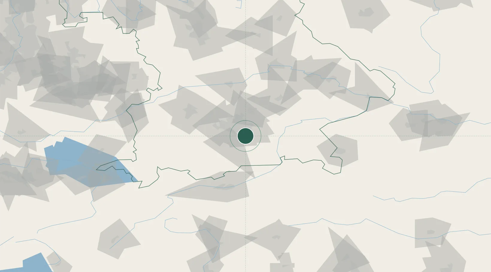
Place type
Local administrative seat
Region
Bavaria
Population
4,628
Time zone
Europe/Berlin
Elevation
593 m
Location
Nearby Logistics Neighbours
Cities
- 1Hohenkirchen1 km
- 2Siegertsbrunn4 km
- 3Unterhaching5 km
- 4Riemerling6 km
- 5Furth (München)7 km
Ports
- 1Nogaro275 km
- 2Grado286 km
- 3Monfalcone286 km
- 4Porto Di Lido-Venezia295 km
- 5Trieste306 km
Airports
- 1Oberpfaffenhofen Airport31 km
- 2Munich Airport38 km
- 3Altstetten Ultralight Field44 km
- 4Landshut Airfield61 km
- 5Lechfeld Air Base64 km
Trade Zones
DatabookThe Record of Consolidated Knowledge
Germany beyond logistics?