Transport Functions
Road
Multimodal
Hub Profile
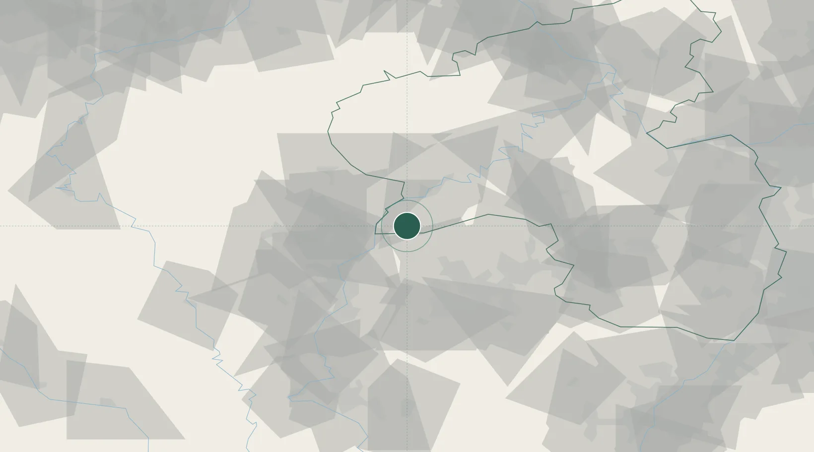
Place type
Local administrative seat
Region
Rheinland-Pfalz
Population
1,178
Time zone
Europe/Berlin
Elevation
191 m
Location
Nearby Logistics Neighbours
Cities
- 1Serrig4 km
- 2Taben5 km
- 3Wormeldange9 km
- 4Mettlach10 km
- 5Palzem11 km
Airports
Trade Zones
- 1Luxembourg Free Port23 km
- 2ZFU Woippy-Metz53 km
- 3ZFU La Cité Behren-lès-Forbach54 km
- 4ZFU Metz57 km
- 5ZFU Maxéville, Laxou, et de Nancy99 km
DatabookThe Record of Consolidated Knowledge
Germany beyond logistics?