Transport Functions
Port
Rail
Road
Hub Profile
Place type
Urban district
Region
Rheinland-Pfalz
Time zone
Europe/Berlin
Elevation
222 m
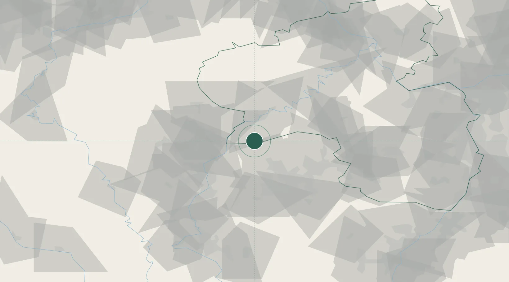
Location
Nearby Logistics Neighbours
Cities
- 1Serrig4 km
- 2Trassem5 km
- 3Mettlach6 km
- 4Wiltingen13 km
- 5Wormeldange14 km
Airports
Trade Zones
- 1Luxembourg Free Port28 km
- 2ZFU La Cité Behren-lès-Forbach49 km
- 3ZFU Woippy-Metz54 km
- 4ZFU Metz58 km
- 5ZFU Maxéville, Laxou, et de Nancy99 km
DatabookThe Record of Consolidated Knowledge
Germany beyond logistics?