Transport Functions
Road
Multimodal
Hub Profile
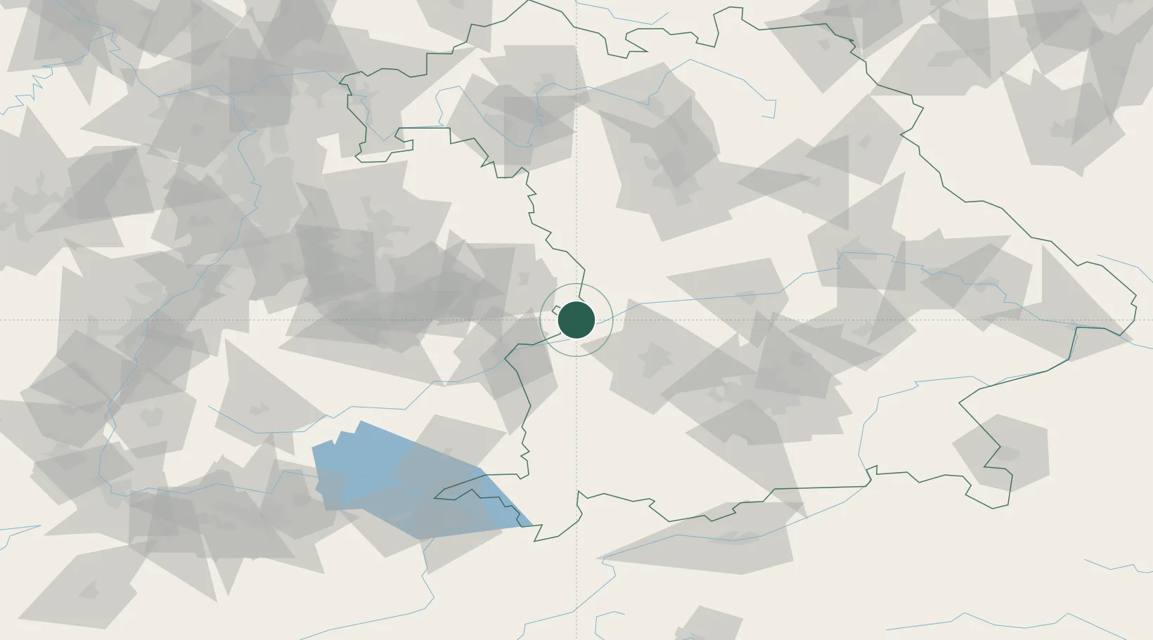
Place type
Populated place
Region
Bavaria
Population
2,360
Time zone
Europe/Berlin
Elevation
455 m
Location
Nearby Logistics Neighbours
Cities
- 1Sontheim an der Brenz12 km
- 2Staufen12 km
- 3Baechingen13 km
- 4Syrgenstein13 km
- 5Giengen14 km
Ports
- 1Nogaro380 km
- 2Porto Di Lido-Venezia387 km
- 3Grado391 km
- 4Monfalcone394 km
- 5Porto Di Chioggia402 km
Airports
- 1Augsburg Airport44 km
- 2Laupheim Air Base58 km
- 3Lechfeld Air Base58 km
- 4Neuburg Air Base59 km
- 5Memmingen Allgau Airport71 km
Trade Zones
- 1Freeport of Deggendorf184 km
- 2ZFU Neuhof195 km
- 3ZFU Hautepierre200 km
- 4Livigno Free Trade Zone233 km
- 5ZFU Mulhouse248 km
DatabookThe Record of Consolidated Knowledge
Germany beyond logistics?