UN/LOCODE hub · Germany
DEBHV
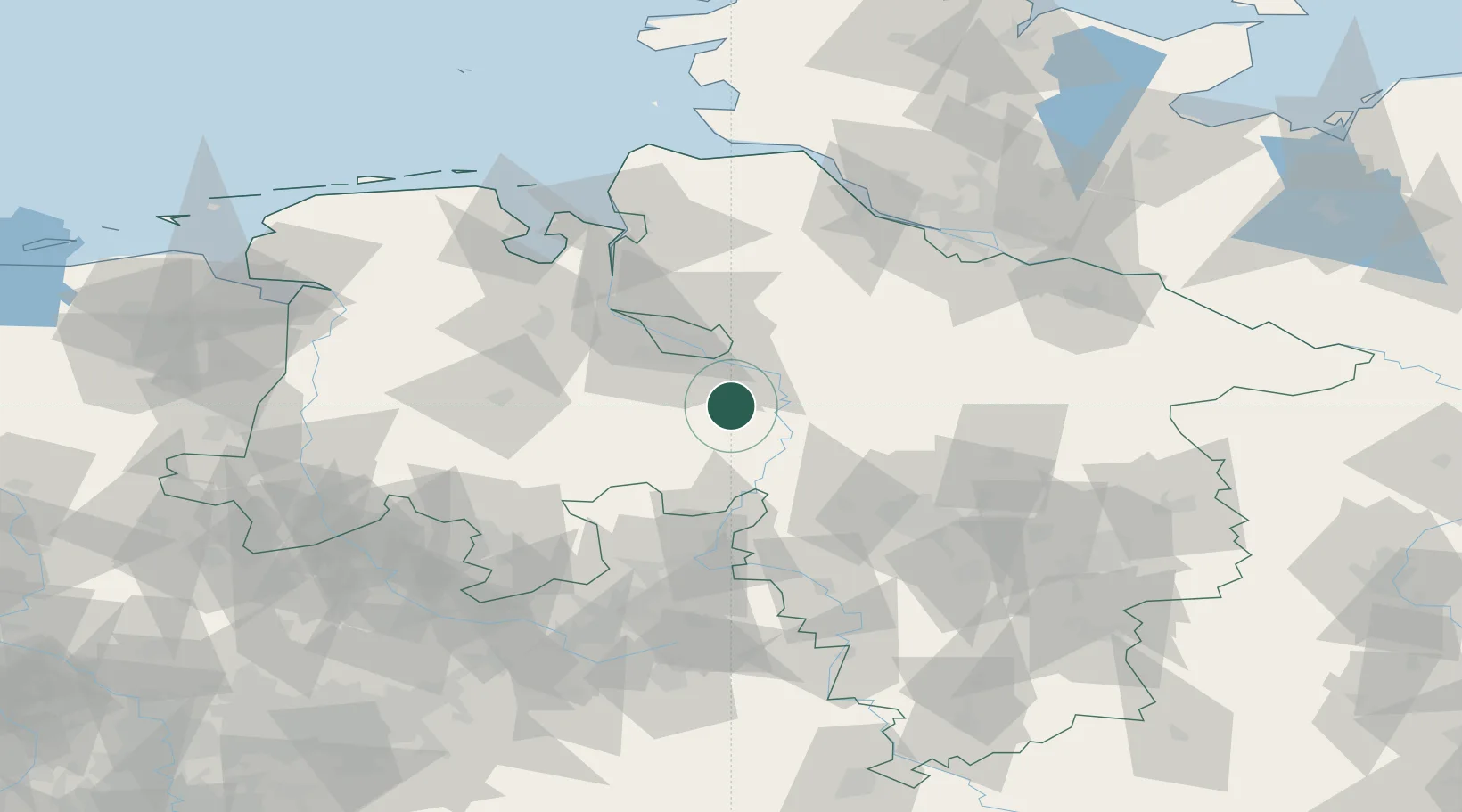
Bruchhausen-Vilsen
52.8333°, 8.9833°
6,205
Population
2
Transport functions
Transport Functions
Rail
Road
Hub Profile
Place type
Populated place
Region
Lower Saxony
Population
6,205
Time zone
Europe/Berlin
Elevation
17 m
Location
Nearby Logistics Neighbours
Cities
- 1Blender14 km
- 2Thedinghausen15 km
- 3Schweringen16 km
- 4Bassum17 km
- 5Dörverden17 km
Airports
- 1Bremen Airport27 km
- 2Diepholz Air Base51 km
- 3Wunstorf Air Base51 km
- 4Bückeburg Air Base62 km
- 5Hannover Airport63 km
Trade Zones
DatabookThe Record of Consolidated Knowledge
Germany beyond logistics?