Transport Functions
Port
Multimodal
Hub Profile
Place type
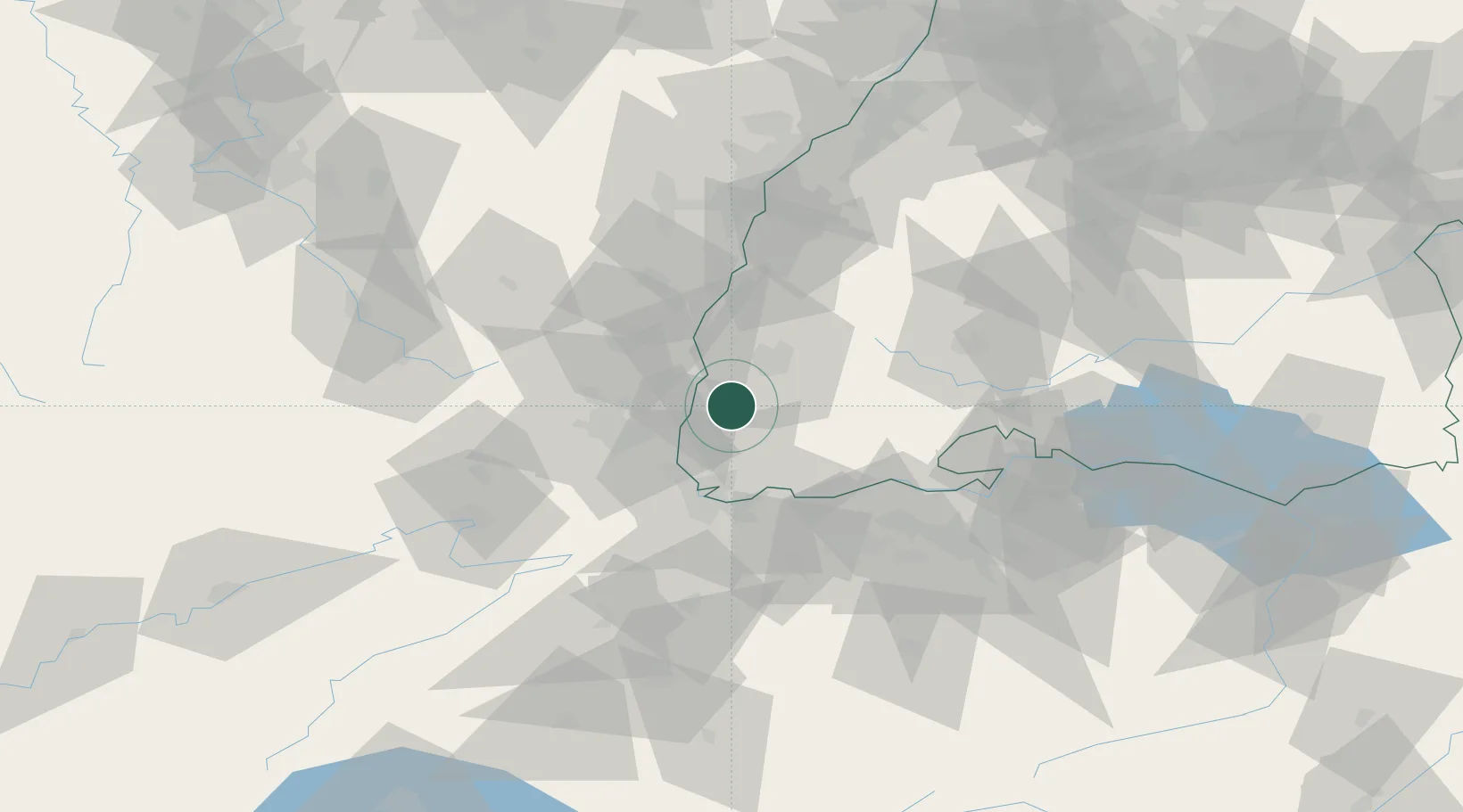
Populated place
Region
Baden-Wurttemberg
Time zone
Europe/Berlin
Elevation
328 m
Location
Nearby Logistics Neighbours
Cities
- 1Staufen im Breisgau3 km
- 2Eschbach (Markgräflerland)4 km
- 3Ehrenkirchen7 km
- 4Auggen12 km
- 5Bantzenheim14 km
Ports
- 1Genova397 km
- 2Savona400 km
- 3Rada Di Vado405 km
- 4Bruxelles412 km
- 5Chiavari - Lavagna415 km
Airports
- 1EuroAirport Basel–Mulhouse–Freiburg33 km
- 2Colmar Houssen airport37 km
- 3Lahr Airport57 km
- 4Donaueschingen-Villingen Airfield62 km
- 5Strasbourg Airport75 km
Trade Zones
- 1ZFU Mulhouse30 km
- 2ZFU Belfort71 km
- 3ZFU Neuhof75 km
- 4ZFU Montbéliard79 km
- 5ZFU Hautepierre81 km
DatabookThe Record of Consolidated Knowledge
Germany beyond logistics?