Transport Functions
Rail
Road
Hub Profile
Place type
Populated place
Region
Baden-Wurttemberg
Time zone
Europe/Berlin
Elevation
284 m
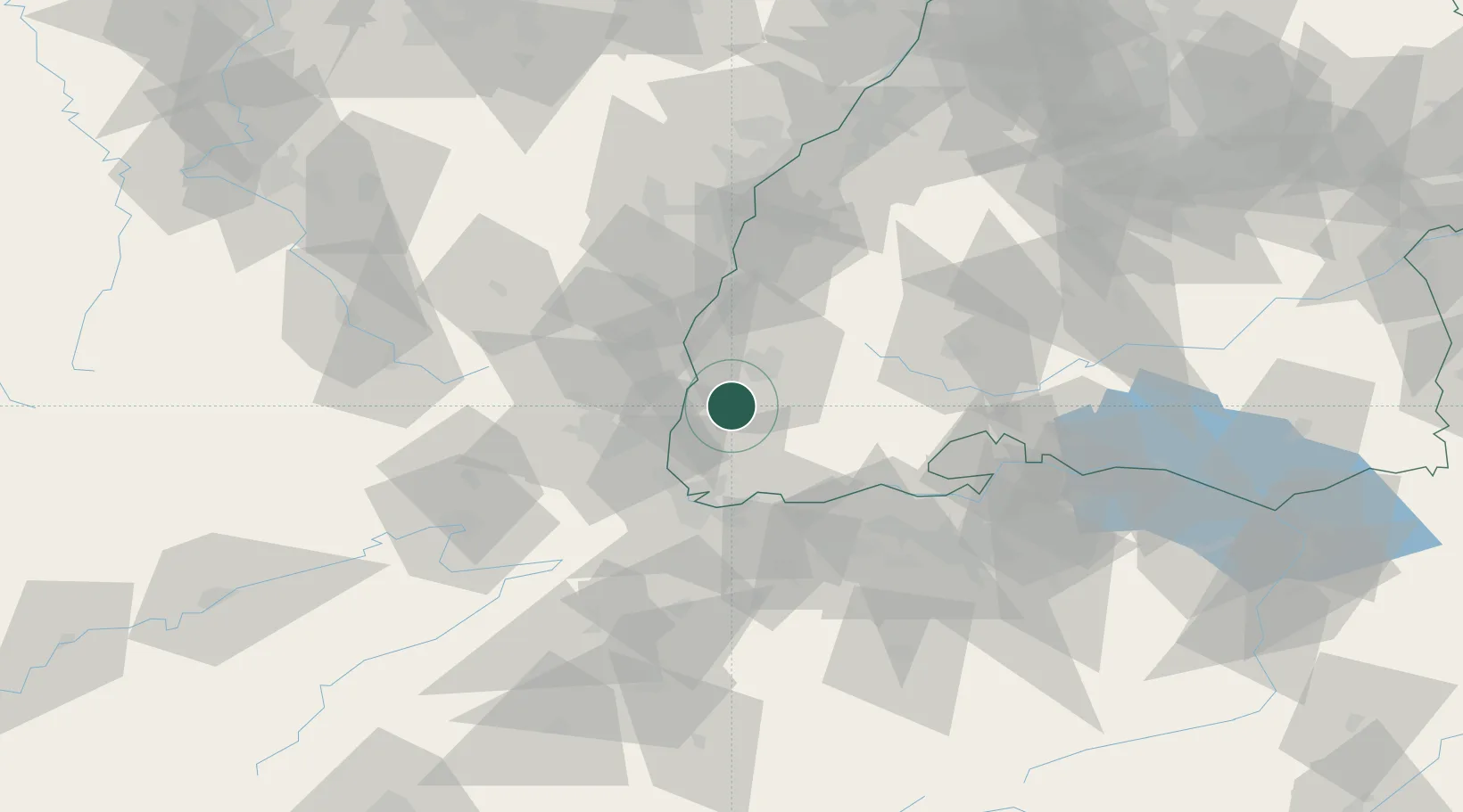
Location
Nearby Logistics Neighbours
Cities
- 1Ballrechten3 km
- 2Ehrenkirchen4 km
- 3Eschbach (Markgräflerland)6 km
- 4Wieden13 km
- 5Günterstal14 km
Ports
- 1Genova398 km
- 2Savona401 km
- 3Rada Di Vado406 km
- 4Bruxelles412 km
- 5Chiavari - Lavagna416 km
Airports
- 1EuroAirport Basel–Mulhouse–Freiburg35 km
- 2Colmar Houssen airport38 km
- 3Lahr Airport55 km
- 4Donaueschingen-Villingen Airfield60 km
- 5Strasbourg Airport73 km
Trade Zones
- 1ZFU Mulhouse33 km
- 2ZFU Neuhof73 km
- 3ZFU Belfort74 km
- 4ZFU Hautepierre79 km
- 5ZFU Montbéliard82 km
DatabookThe Record of Consolidated Knowledge
Germany beyond logistics?