Transport Functions
Road
Multimodal
Hub Profile
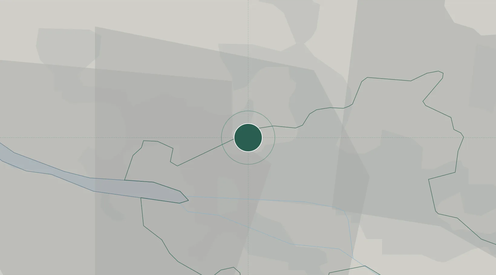
Place type
Urban district
Region
Hamburg
Population
30,100
Time zone
Europe/Berlin
Elevation
15 m
Location
Nearby Logistics Neighbours
Cities
- 1Kummerfeld10 km
- 2Hamburg-Mitte11 km
- 3Finkenwerder12 km
- 4Prisdorf12 km
- 5Altenwerder13 km
Ports
- 1Hamburg9 km
- 2Butzfleth26 km
- 3Gluckstadt37 km
- 4Itzehoe41 km
- 5Brunsbuttel Elbahafen57 km
Airports
Trade Zones
DatabookThe Record of Consolidated Knowledge
Germany beyond logistics?