Transport Functions
Port
Road
Hub Profile
Place type
Urban district
Region
Hamburg
Time zone
Europe/Berlin
Elevation
6 m
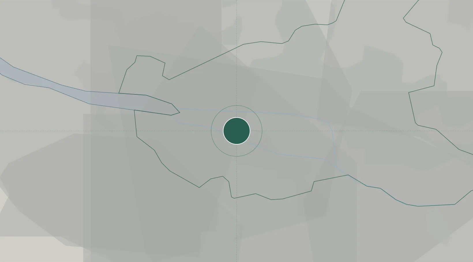
Location
Nearby Logistics Neighbours
Cities
- 1Hamburg3 km
- 2Finkenwerder5 km
- 3Harburg7 km
- 4Hamburg-Mitte8 km
- 5Neu Wulmstorf10 km
Ports
- 1Hamburg4 km
- 2Butzfleth30 km
- 3Gluckstadt44 km
- 4Itzehoe52 km
- 5Brunsbuttel Elbahafen64 km
Airports
Trade Zones
DatabookThe Record of Consolidated Knowledge
Germany beyond logistics?