UN/LOCODE hub · Germany
DEHTJ
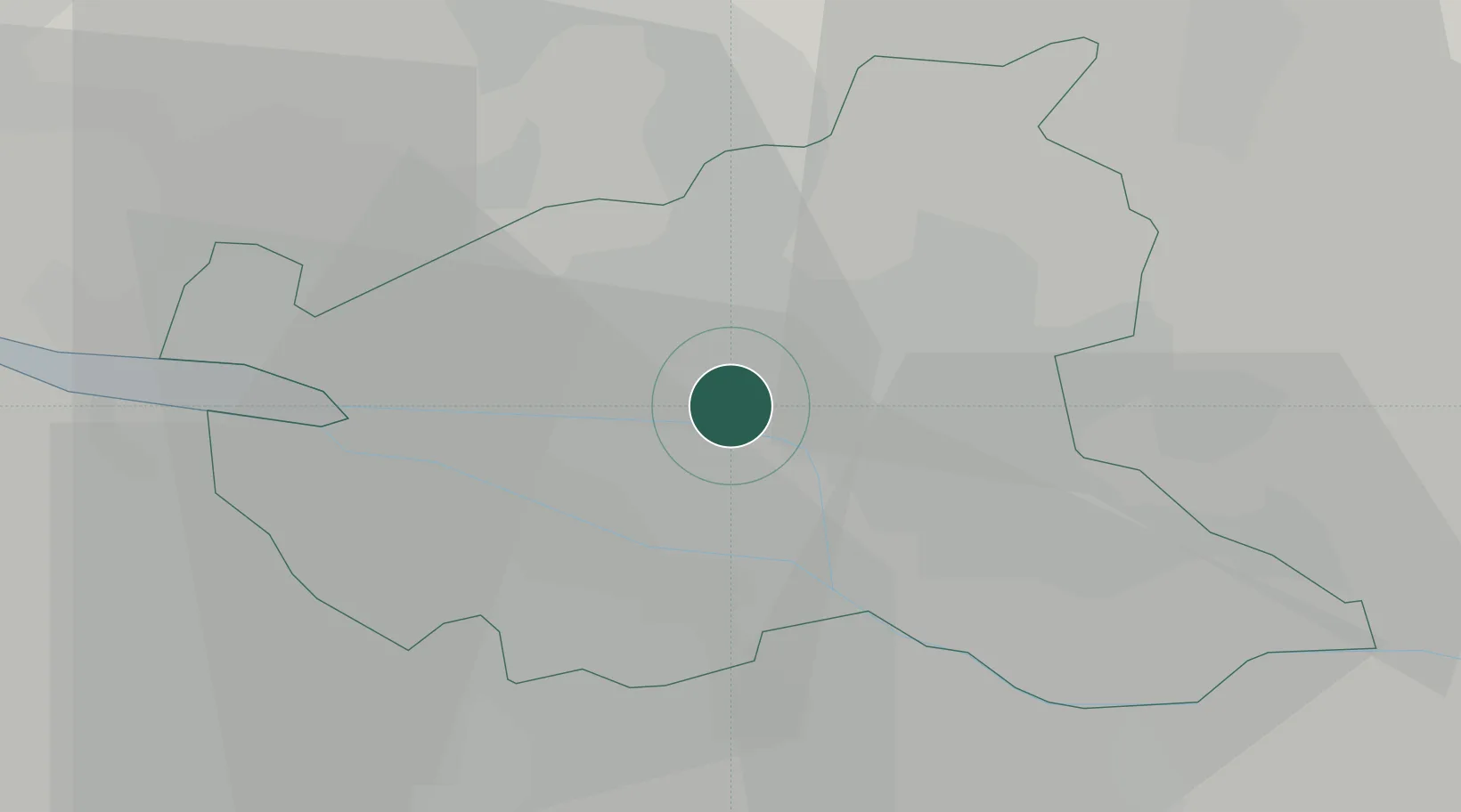
Hamburg-Mitte
53.5500°, 10.0167°
301,231
Population
2
Transport functions
Transport Functions
Port
Road
Hub Profile
Place type
Urban district
Region
Hamburg
Population
301,231
Time zone
Europe/Berlin
Elevation
8 m
Location
Nearby Logistics Neighbours
Cities
- 1Hamburg6 km
- 2Altenwerder8 km
- 3Harburg10 km
- 4Finkenwerder11 km
- 5Schnelsen11 km
Ports
- 1Hamburg6 km
- 2Butzfleth35 km
- 3Gluckstadt47 km
- 4Itzehoe52 km
- 5Lubeck58 km
Airports
Trade Zones
DatabookThe Record of Consolidated Knowledge
Germany beyond logistics?