UN/LOCODE hub · Germany
DESYS
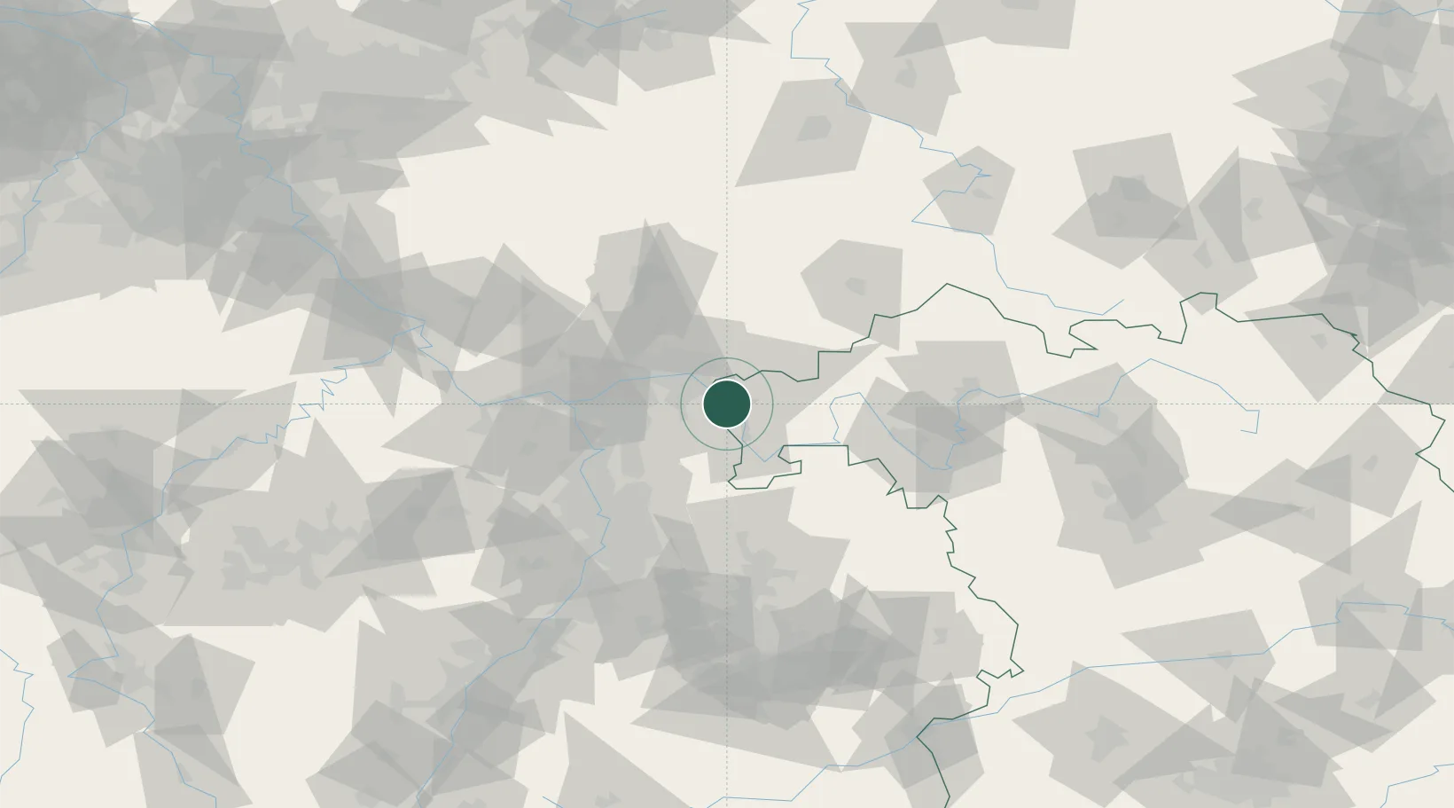
Stockstadt am Main
49.9833°, 9.0667°
7,663
Population
1
Transport functions
Transport Functions
Multimodal
Hub Profile
Place type
Populated place
Region
Bavaria
Population
7,663
Time zone
Europe/Berlin
Elevation
118 m
Location
Nearby Logistics Neighbours
Cities
- 1Aschaffenburg3 km
- 2Johannesberg7 km
- 3Goldbach8 km
- 4Hösbach9 km
- 5Sulzbach am Main11 km
Airports
- 1Frankfurt-Egelsbach Airport30 km
- 2Frankfurt Main Airport37 km
- 3Wiesbaden Army Airfield54 km
- 4Mainz-Finthen Airfield66 km
- 5Mannheim-City Airport69 km
Trade Zones
- 1ZFU La Cité Behren-lès-Forbach179 km
- 2ZFU Hautepierre184 km
- 3ZFU Neuhof186 km
- 4Luxembourg Free Port208 km
- 5Rheinische Revier SWZ216 km
DatabookThe Record of Consolidated Knowledge
Germany beyond logistics?