Transport Functions
Port
Rail
Road
Hub Profile
Place type
District seat
Region
Bavaria
Population
68,551
Time zone
Europe/Berlin
Elevation
140 m
Logistics facilities
1
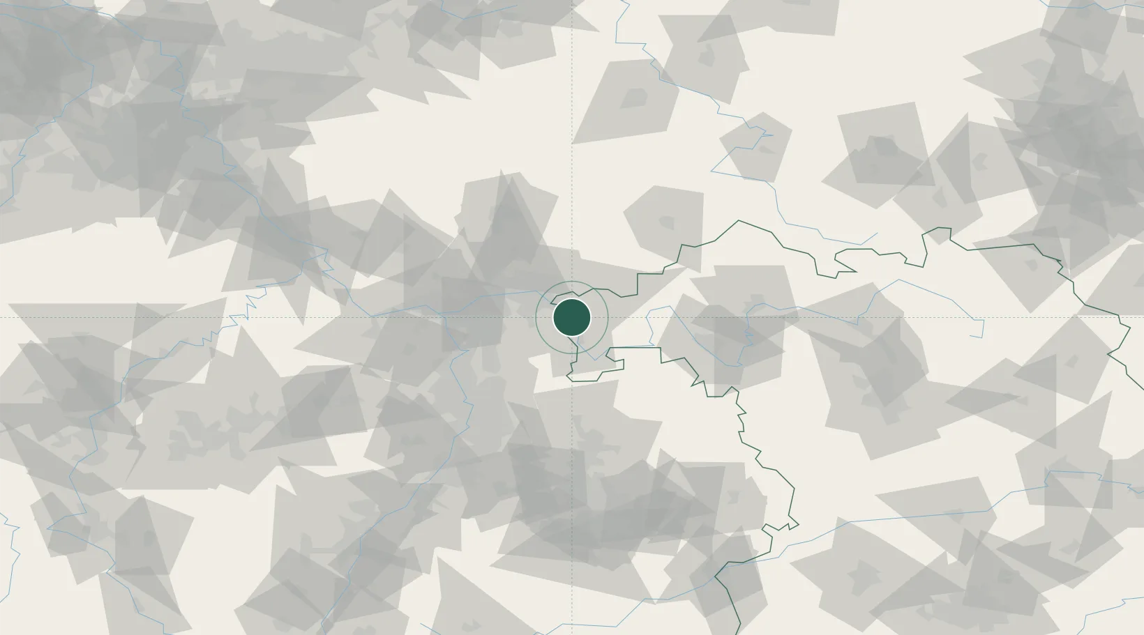
Location
Nearby Logistics Neighbours
Cities
- 1Stockstadt am Main3 km
- 2Goldbach6 km
- 3Hösbach7 km
- 4Johannesberg8 km
- 5Sulzbach am Main8 km
Airports
- 1Frankfurt-Egelsbach Airport33 km
- 2Frankfurt Main Airport40 km
- 3Wiesbaden Army Airfield57 km
- 4Mainz-Finthen Airfield69 km
- 5Mannheim-City Airport70 km
Trade Zones
- 1ZFU La Cité Behren-lès-Forbach181 km
- 2ZFU Hautepierre184 km
- 3ZFU Neuhof186 km
- 4Luxembourg Free Port210 km
- 5Rheinische Revier SWZ220 km
DatabookThe Record of Consolidated Knowledge
Germany beyond logistics?