UN/LOCODE hub · Germany
DESUM
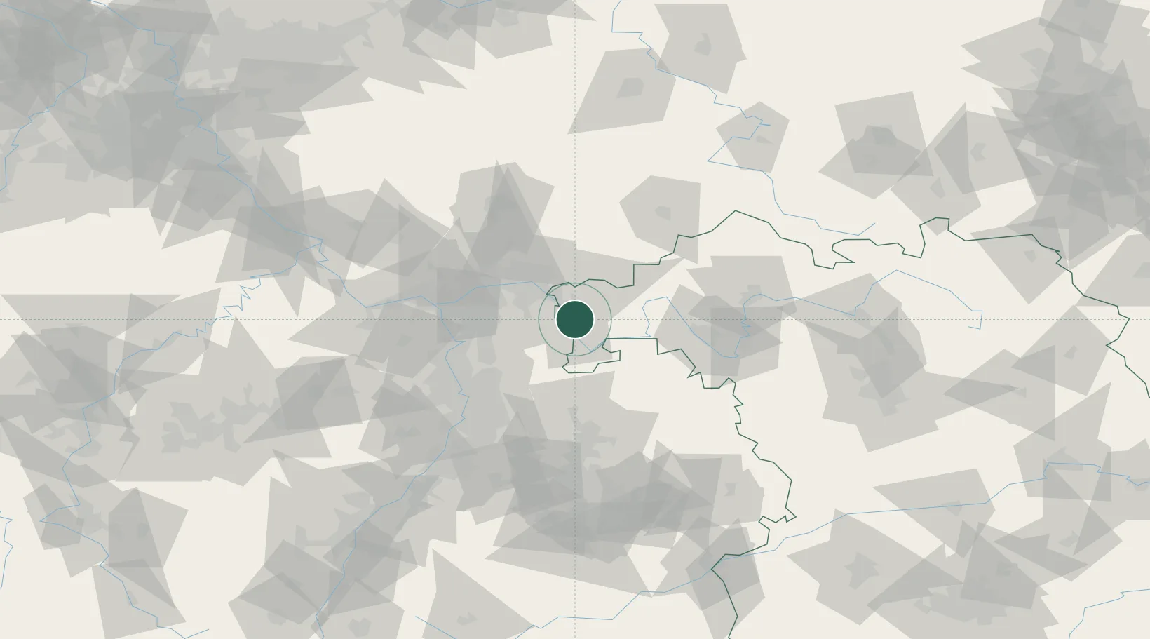
Sulzbach am Main
49.9000°, 9.1500°
7,057
Population
1
Transport functions
Transport Functions
Multimodal
Hub Profile
Place type
Populated place
Region
Bavaria
Population
7,057
Time zone
Europe/Berlin
Elevation
129 m
Location
Nearby Logistics Neighbours
Cities
- 1Kleinwallstadt4 km
- 2Mömlingen7 km
- 3Elsenfeld7 km
- 4Obernburg am Main8 km
- 5Aschaffenburg8 km
Airports
- 1Frankfurt-Egelsbach Airport37 km
- 2Frankfurt Main Airport45 km
- 3Wiesbaden Army Airfield61 km
- 4Mannheim-City Airport66 km
- 5Mainz-Finthen Airfield72 km
Trade Zones
- 1ZFU Hautepierre180 km
- 2ZFU La Cité Behren-lès-Forbach180 km
- 3ZFU Neuhof182 km
- 4Luxembourg Free Port212 km
- 5Rheinische Revier SWZ226 km
DatabookThe Record of Consolidated Knowledge
Germany beyond logistics?