Transport Functions
Rail
Road
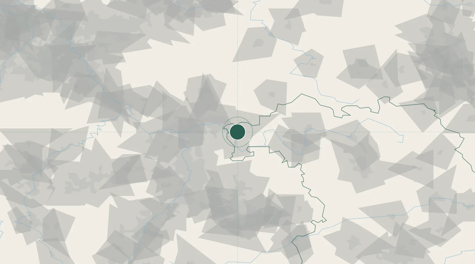
Hub Profile
Place type
Populated place
Region
Bavaria
Population
13,203
Time zone
Europe/Berlin
Elevation
160 m
Location
Nearby Logistics Neighbours
Cities
- 1Goldbach2 km
- 2Johannesberg5 km
- 3Aschaffenburg7 km
- 4Mömbris8 km
- 5Blankenbach8 km
Airports
- 1Frankfurt-Egelsbach Airport39 km
- 2Frankfurt Main Airport45 km
- 3Wiesbaden Army Airfield62 km
- 4Mainz-Finthen Airfield74 km
- 5Mannheim-City Airport76 km
Trade Zones
- 1ZFU La Cité Behren-lès-Forbach187 km
- 2ZFU Hautepierre190 km
- 3ZFU Neuhof192 km
- 4Luxembourg Free Port216 km
- 5Rheinische Revier SWZ223 km
DatabookThe Record of Consolidated Knowledge
Germany beyond logistics?