Transport Functions
Rail
Road
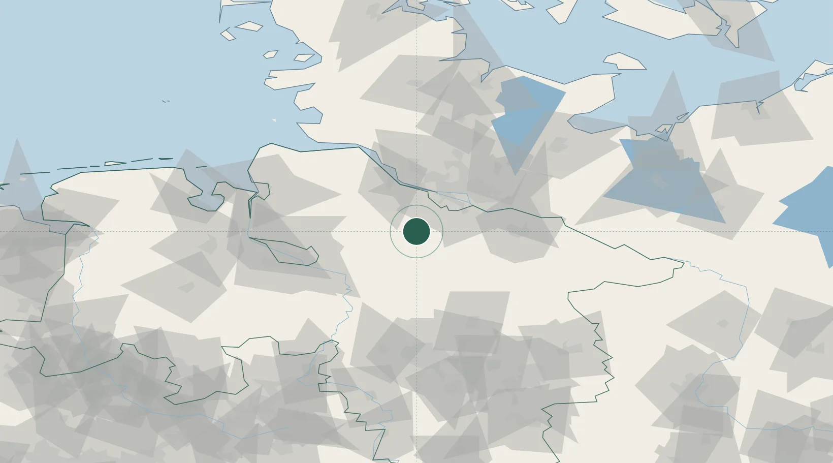
Hub Profile
Place type
Local administrative seat
Region
Lower Saxony
Population
1,732
Time zone
Europe/Berlin
Elevation
49 m
Location
Nearby Logistics Neighbours
Cities
- 1Drestedt9 km
- 2Handeloh10 km
- 3Wohnste14 km
- 4Buchholz in der Nordheide14 km
- 5Buchholz14 km
Ports
- 1Hamburg36 km
- 2Butzfleth44 km
- 3Gluckstadt60 km
- 4Bremen63 km
- 5Itzehoe73 km
Airports
- 1Hamburg-Finkenwerder Airport32 km
- 2Uetersen-Heist Airfield42 km
- 3Hamburg Helmut Schmidt Airport45 km
- 4Faßberg Air Base51 km
- 5Bremen Airport64 km
Trade Zones
DatabookThe Record of Consolidated Knowledge
Germany beyond logistics?