Transport Functions
Rail
Road
Multimodal
Hub Profile
Region
NI
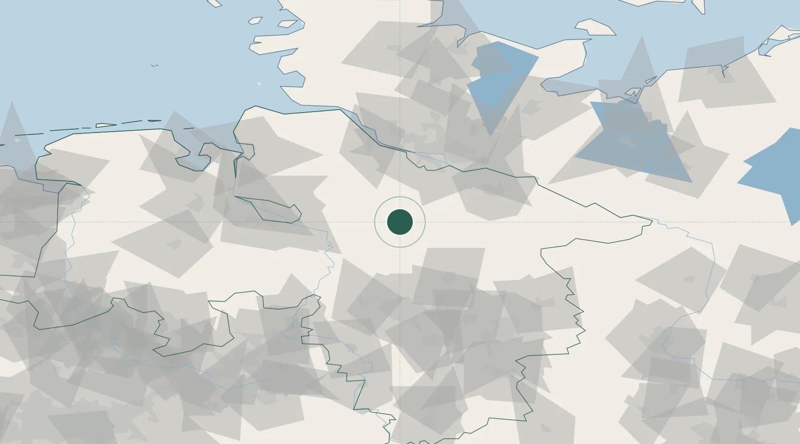
Location
Nearby Logistics Neighbours
Cities
- 1Soltau10 km
- 2Visselhövede10 km
- 3Schneverdingen11 km
- 4Brockel15 km
- 5Bad Fallingbostel19 km
Ports
- 1Hamburg59 km
- 2Bremen64 km
- 3Butzfleth70 km
- 4Gluckstadt86 km
- 5Elsfleth86 km
Airports
- 1Faßberg Air Base34 km
- 2Celle Army Airfield53 km
- 3Hamburg-Finkenwerder Airport56 km
- 4Bremen Airport62 km
- 5Hannover Airport64 km
Trade Zones
DatabookThe Record of Consolidated Knowledge
Germany beyond logistics?