Transport Functions
Rail
Road
Hub Profile
Place type
Populated place
Region
Lower Saxony
Population
5,368
Time zone
Europe/Berlin
Elevation
29 m
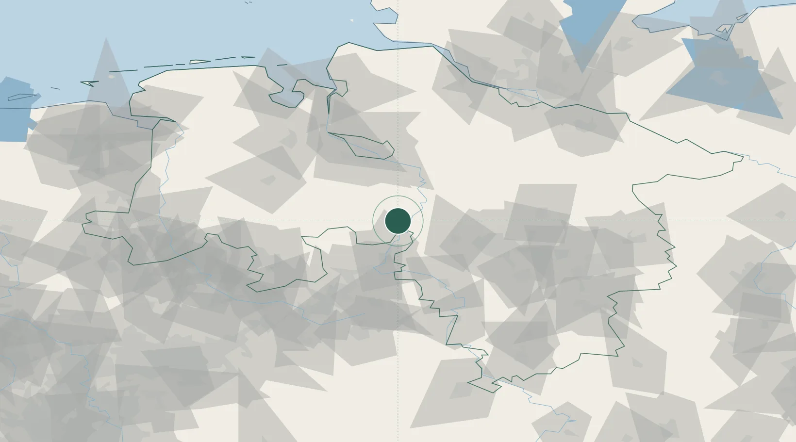
Location
Nearby Logistics Neighbours
Cities
- 1Liebenau7 km
- 2Landesbergen8 km
- 3Leeseringen10 km
- 4Kirchdorf (bei Sulingen)13 km
- 5Windheim19 km
Airports
- 1Wunstorf Air Base30 km
- 2Bückeburg Air Base32 km
- 3Diepholz Air Base46 km
- 4Hannover Airport47 km
- 5Bremen Airport56 km
Trade Zones
DatabookThe Record of Consolidated Knowledge
Germany beyond logistics?