UN/LOCODE hub · Germany
DEKFS

Kirchdorf (bei Sulingen)

52.6000°, 8.8333°
1
Transport functions

Transport Functions

Multimodal
UN/LOCODE

Hub Profile

Region
NI
GeoNames

Location

Location of DEKFS
Natural Earth 10m (public domain) · NI · DEKFS · 52.60, 8.83GoogleOSMYandex

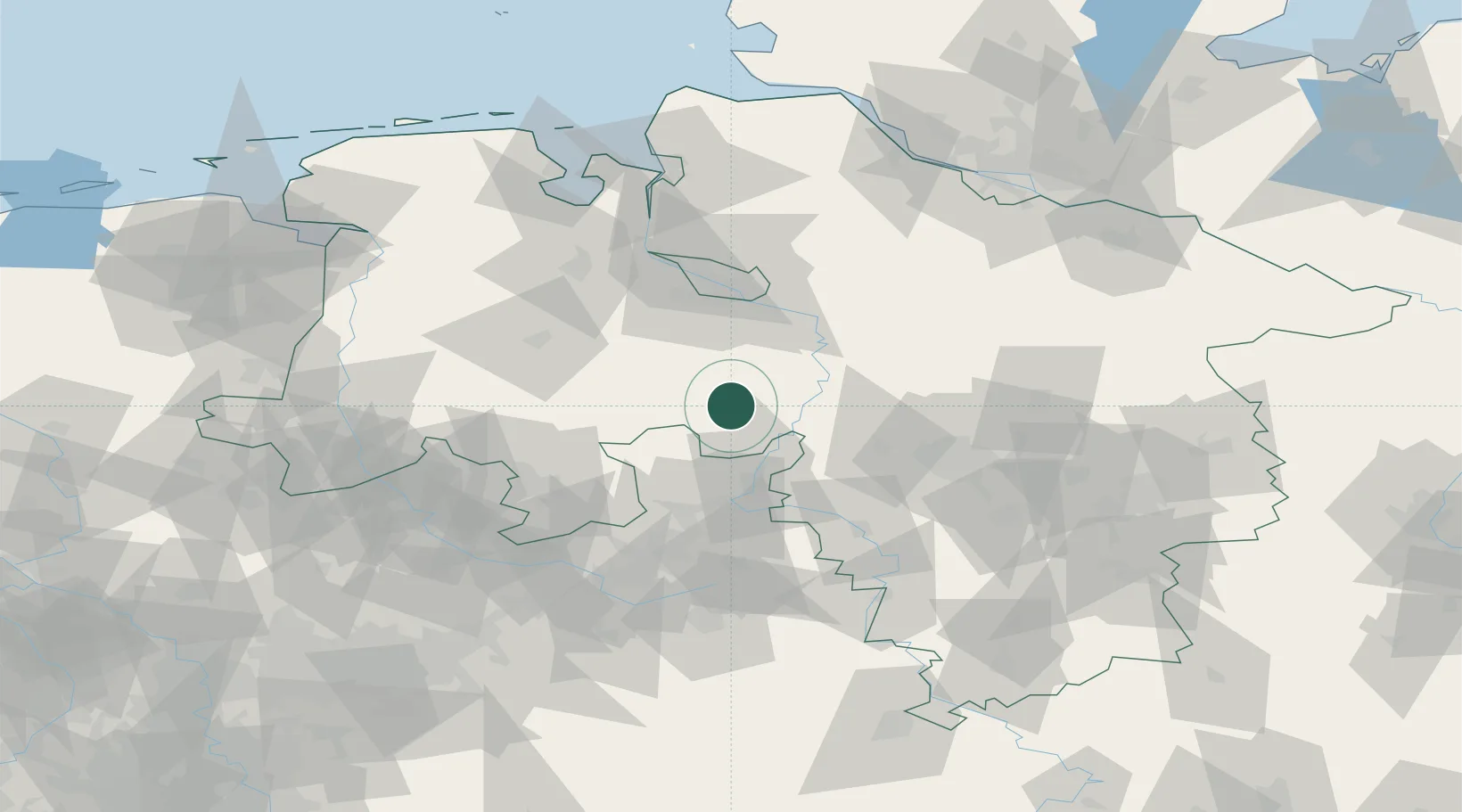
Nearby Logistics Neighbours

Cities
  1. 1Sulingen10 km
  2. 2Steyerberg13 km
  3. 3Liebenau18 km
  4. 4Ehrenburg19 km
  5. 5Landesbergen21 km
Nearest neighbours — logibook spatial index (haversine) over the source coordinates
Ports
  1. 1Bremen60 km
  2. 2Oldenburg71 km
  3. 3Elsfleth75 km
  4. 4Brake85 km
  5. 5Nordenham101 km
Nearest neighbours — logibook spatial index (haversine) over the source coordinates
Airports
  1. 1Diepholz Air Base33 km
  2. 2Bückeburg Air Base40 km
  3. 3Wunstorf Air Base43 km
  4. 4Bremen Airport50 km
  5. 5Hannover Airport60 km
Nearest neighbours — logibook spatial index (haversine) over the source coordinates
Trade Zones
  1. 1Freeport of Bremerhaven (Freihafen Bremerhaven)55 km
  2. 2Freeport of Emden137 km
  3. 3Freeport of Cuxhaven (Freihafen Cuxhaven)137 km
  4. 4Freeport of Duisburg200 km
  5. 5Freeport of Kiel212 km
Nearest neighbours — logibook spatial index (haversine) over the source coordinates
DatabookThe Record of Consolidated Knowledge
Germany beyond logistics?
Browse databook

All Sources

LocationsUN/LOCODE
UN/LOCODE — free
Portsthe NGA World Port Index
Public domain (US gov)
AirportsOurAirports
Public domain
Trade Zonesthe World Bank SEZ database
CC BY 4.0
Trade ZonesOpen Zone Map
CC BY
← Germany locations