Transport Functions
Road
Multimodal
Hub Profile
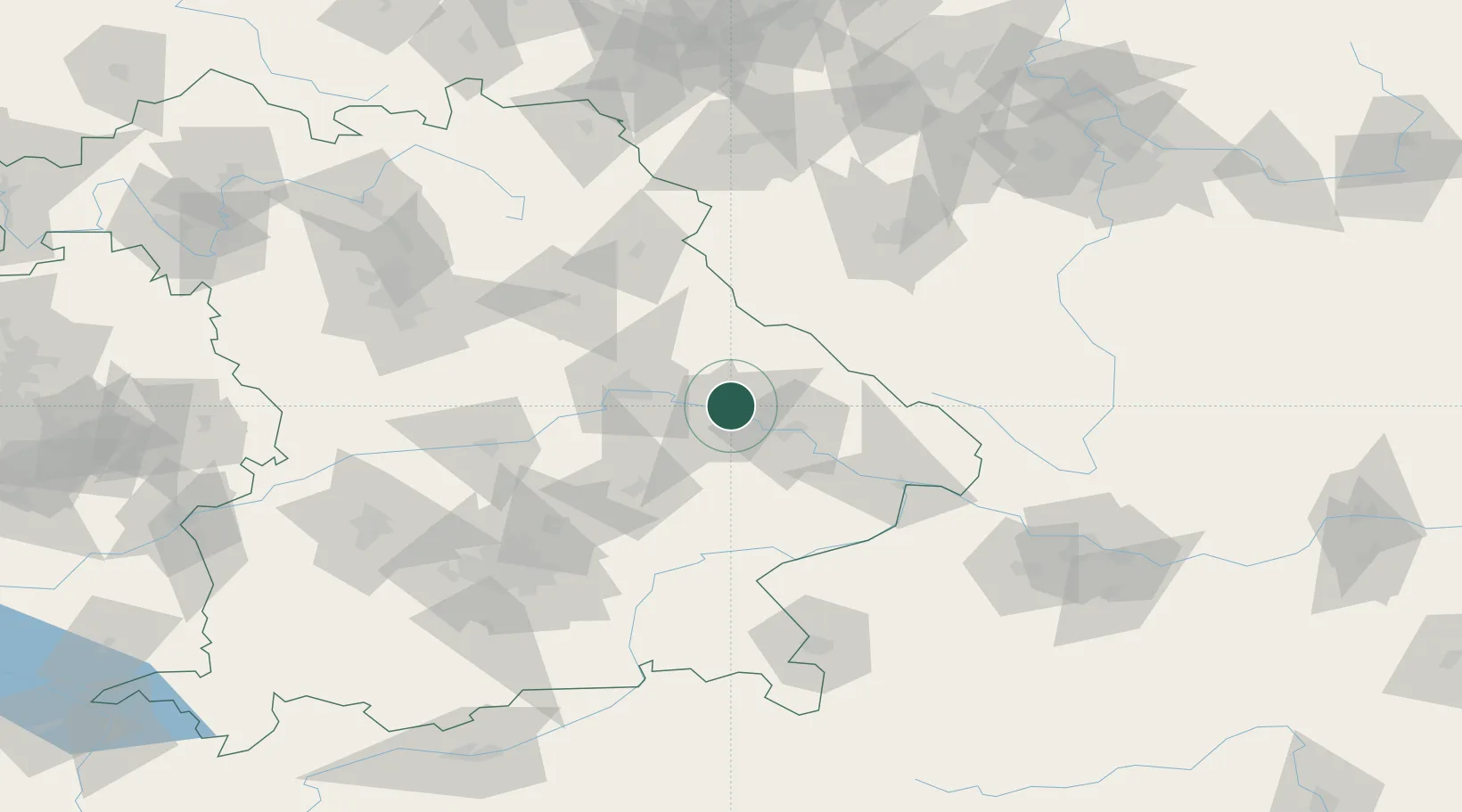
Place type
Local administrative seat
Region
Bavaria
Population
2,938
Time zone
Europe/Berlin
Elevation
334 m
Location
Nearby Logistics Neighbours
Cities
- 1Parkstetten4 km
- 2Kirchroth5 km
- 3Strasskirchen15 km
- 4Salching15 km
- 5Niederwinkling15 km
Ports
- 1Nogaro357 km
- 2Monfalcone359 km
- 3Grado365 km
- 4Trieste377 km
- 5Muggia383 km
Airports
- 1Hohenfels Army Airfield64 km
- 2Landshut Airfield65 km
- 3Ingolstadt Manching Airport83 km
- 4Munich Airport90 km
- 5Plzeň-Líně Airport94 km
Trade Zones
DatabookThe Record of Consolidated Knowledge
Germany beyond logistics?