Transport Functions
Rail
Road
Hub Profile
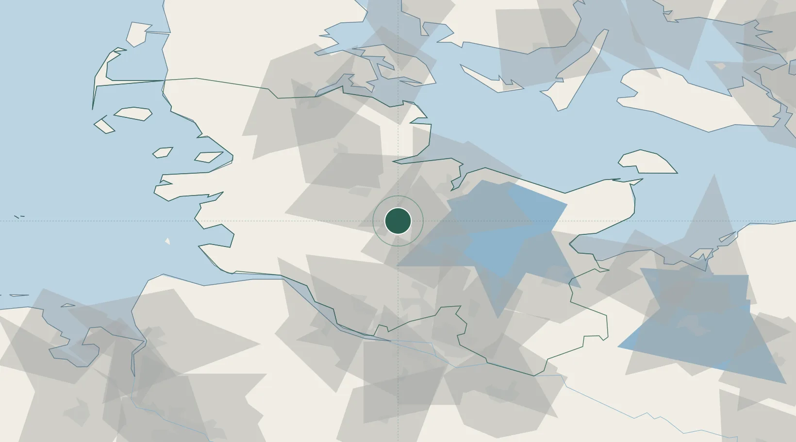
Place type
Populated place
Region
Schleswig-Holstein
Population
6,396
Time zone
Europe/Berlin
Elevation
30 m
Location
Nearby Logistics Neighbours
Cities
- 1Loop6 km
- 2Aukrug11 km
- 3Wasbek11 km
- 4Flintbek16 km
- 5Bredenbek (Rendsburg)17 km
Ports
- 1Rendsburg19 km
- 2Kiel24 km
- 3Eckernforde35 km
- 4Itzehoe36 km
- 5Gluckstadt52 km
Airports
- 1Hohn Air Base27 km
- 2Kiel-Holtenau Airport30 km
- 3Schleswig Air Base40 km
- 4Uetersen-Heist Airfield59 km
- 5Hamburg Helmut Schmidt Airport60 km
Trade Zones
DatabookThe Record of Consolidated Knowledge
Germany beyond logistics?