Transport Functions
Rail
Road
Hub Profile
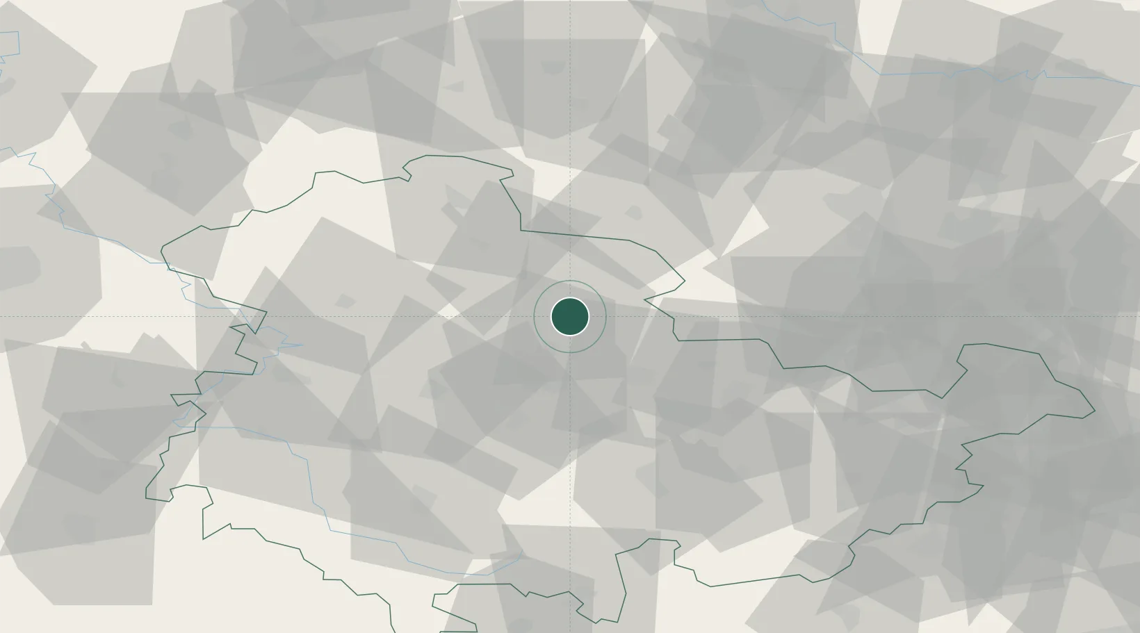
Region
TH
Location
Nearby Logistics Neighbours
Cities
- 1Leubingen4 km
- 2Gebesee14 km
- 3Erfurt20 km
- 4Herbsleben21 km
- 5Buttstadt22 km
Airports
- 1Erfurt-Weimar Airport24 km
- 2Eisenach-Kindel Airport49 km
- 3Leipzig/Halle Airport83 km
- 4Leipzig–Altenburg Airport99 km
- 5Hof-Plauen Airport111 km
Trade Zones
DatabookThe Record of Consolidated Knowledge
Germany beyond logistics?