Transport Functions
Rail
Road
Airport
Hub Profile
Place type
Regional capital
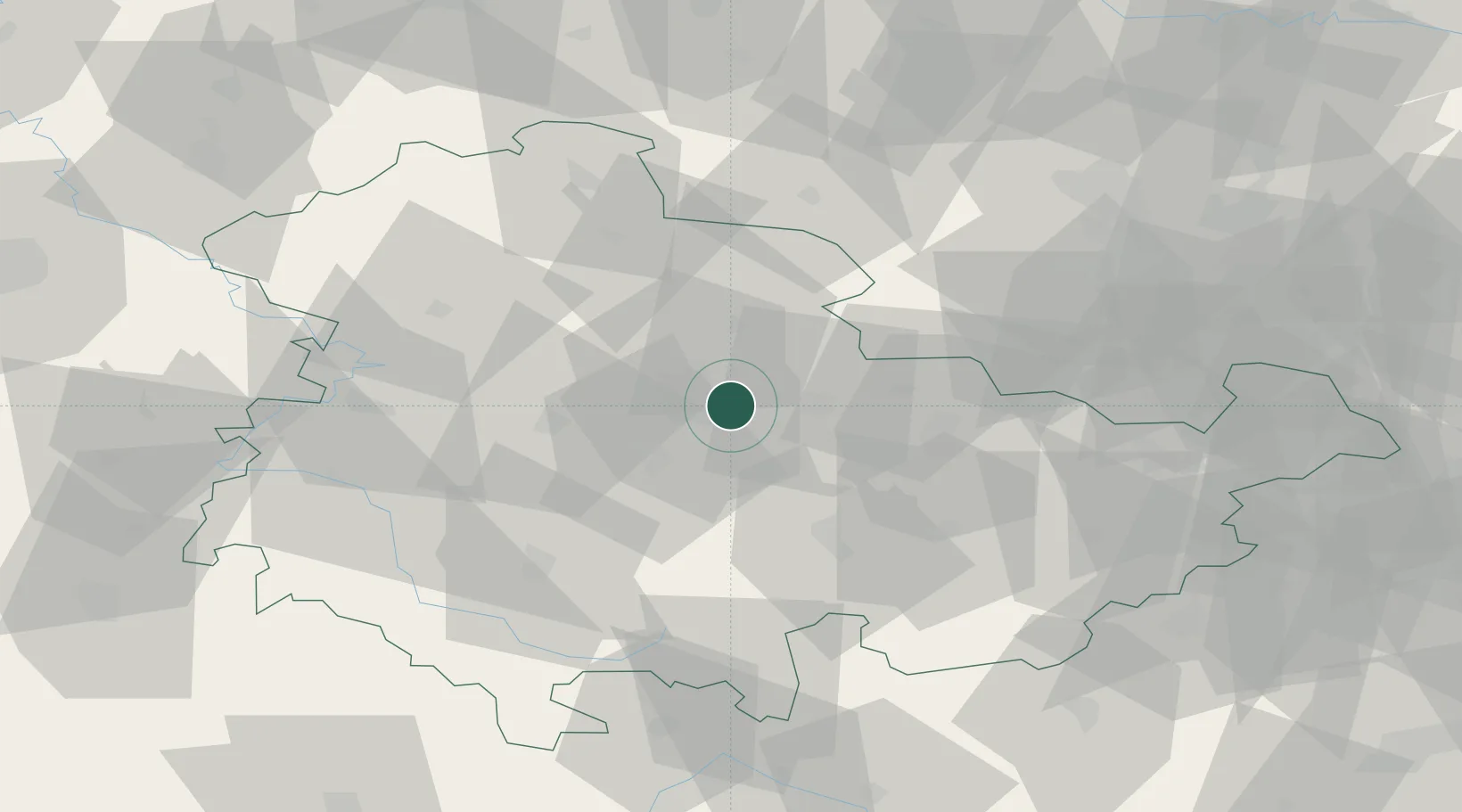
Region
Thuringia
Population
213,692
Time zone
Europe/Berlin
Elevation
194 m
Logistics facilities
1
Location
Nearby Logistics Neighbours
Cities
- 1Mönchenholzhausen3 km
- 2Isseroda8 km
- 3Bad Berka15 km
- 4Nesse-Apfelstadt17 km
- 5Gebesee19 km
Airports
- 1Erfurt-Weimar Airport12 km
- 2Eisenach-Kindel Airport45 km
- 3Leipzig/Halle Airport91 km
- 4Hof-Plauen Airport93 km
- 5Leipzig–Altenburg Airport97 km
Trade Zones
DatabookThe Record of Consolidated Knowledge
Germany beyond logistics?