Transport Functions
Multimodal
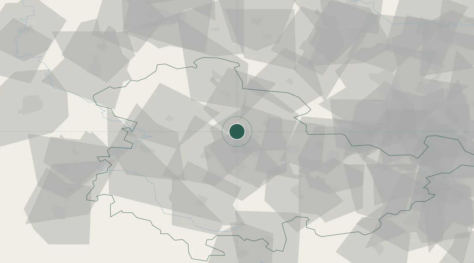
Hub Profile
Place type
Populated place
Region
Thuringia
Population
2,287
Time zone
Europe/Berlin
Elevation
153 m
Location
Nearby Logistics Neighbours
Cities
- 1Herbsleben7 km
- 2Dachwig8 km
- 3Sömmerda14 km
- 4Eschenbergen15 km
- 5Leubingen18 km
Airports
- 1Erfurt-Weimar Airport16 km
- 2Eisenach-Kindel Airport35 km
- 3Leipzig/Halle Airport97 km
- 4Leipzig–Altenburg Airport111 km
- 5Kassel Airport112 km
Trade Zones
DatabookThe Record of Consolidated Knowledge
Germany beyond logistics?