Transport Functions
Multimodal
Hub Profile
Region
RP
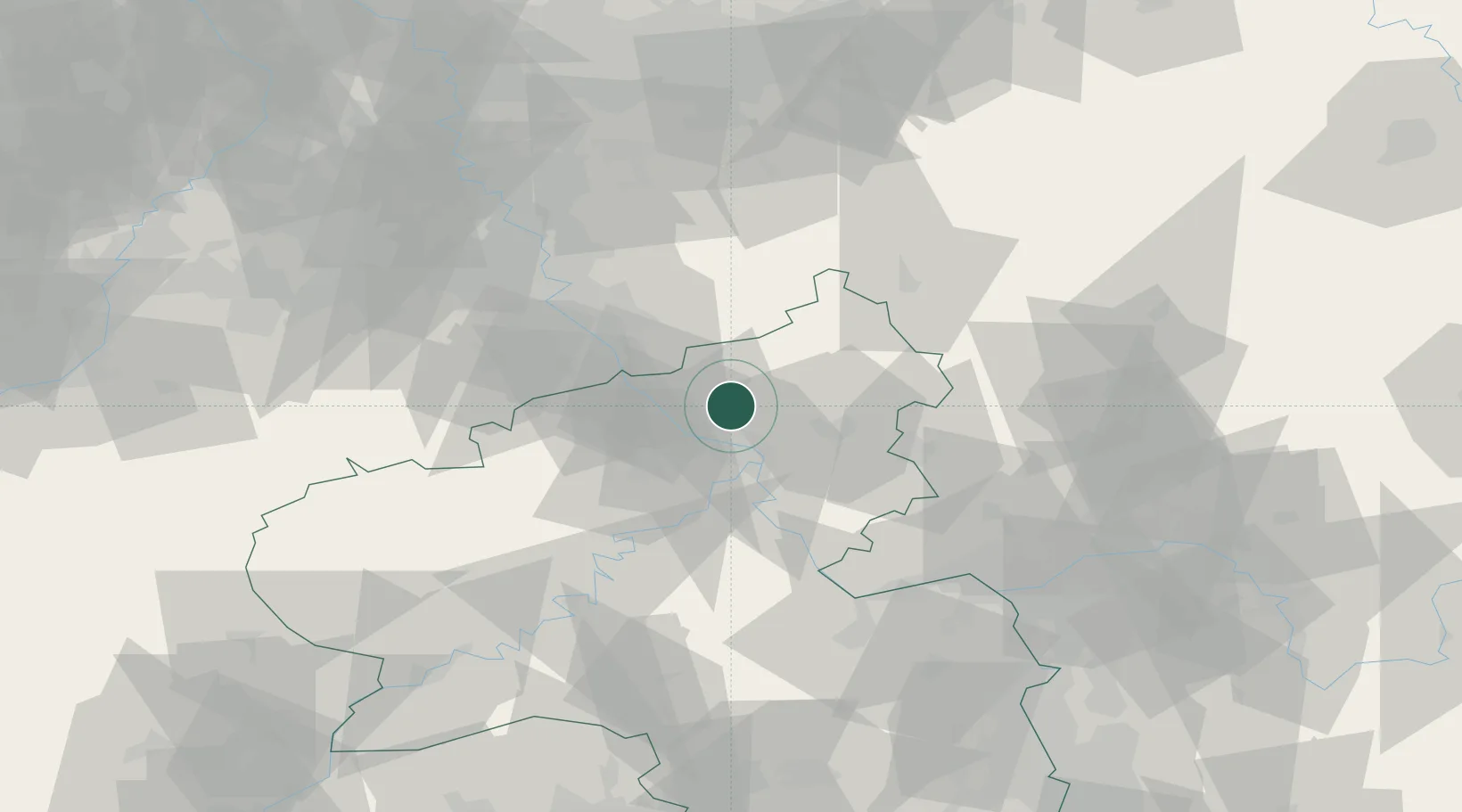
Location
Nearby Logistics Neighbours
Cities
- 1Kurtscheid4 km
- 2Rüscheid4 km
- 3Oberlahr4 km
- 4Kleinmaischeid7 km
- 5Güllesheim7 km
Airports
- 1Siegerland Airport44 km
- 2Cologne Bonn Airport45 km
- 3Büchel Air Base51 km
- 4Frankfurt-Hahn Airport68 km
- 5Nörvenich Air Base69 km
Trade Zones
- 1Rheinische Revier SWZ90 km
- 2Freeport of Duisburg121 km
- 3Luxembourg Free Port136 km
- 4ZFU La Cité Behren-lès-Forbach158 km
- 5ZFU Woippy-Metz182 km
DatabookThe Record of Consolidated Knowledge
Germany beyond logistics?