Transport Functions
Road
Multimodal
Hub Profile
Place type
Local administrative seat
Region
Rheinland-Pfalz
Population
955
Time zone
Europe/Berlin
Elevation
373 m
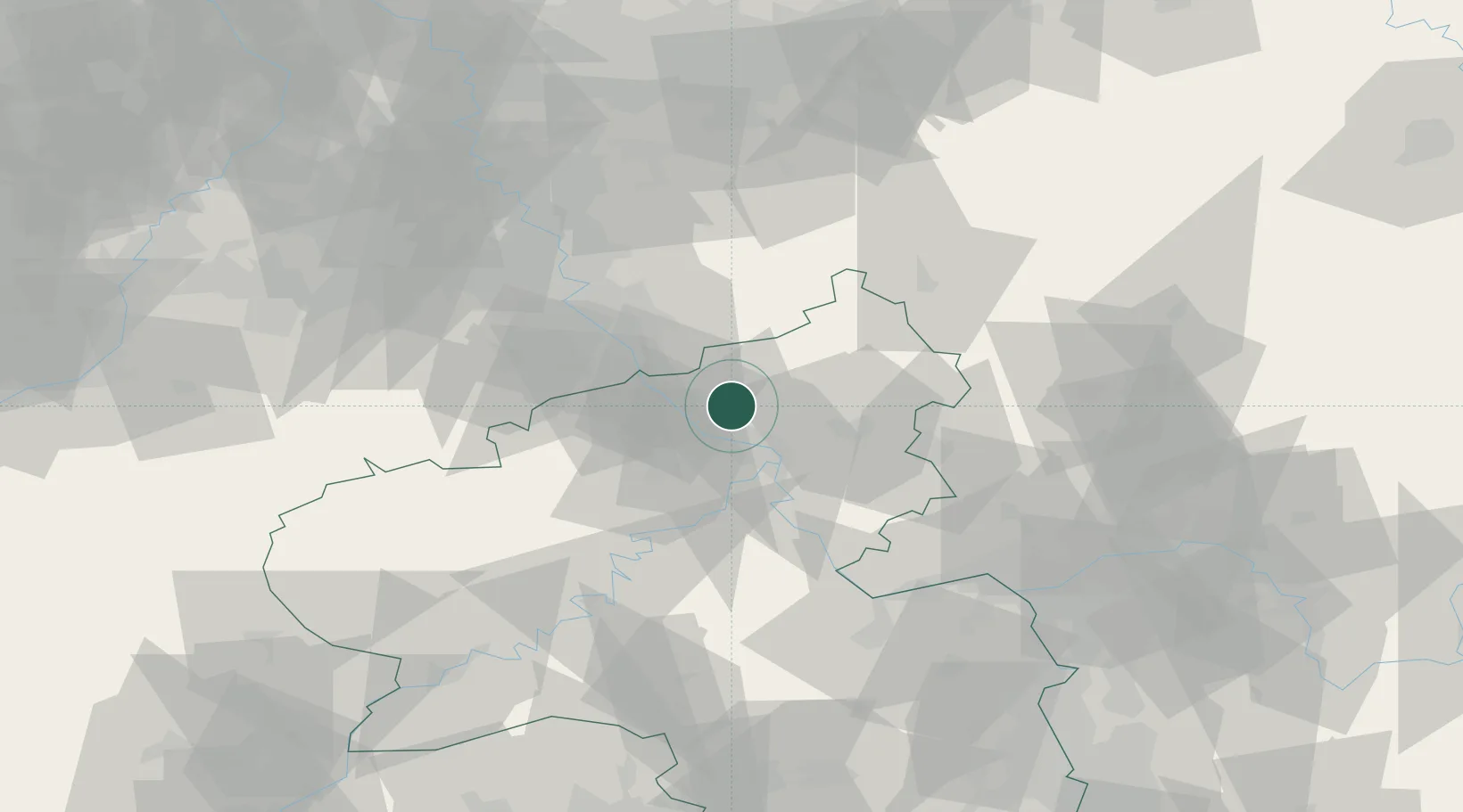
Location
Nearby Logistics Neighbours
Cities
- 1Strassenhaus4 km
- 2Oberlahr5 km
- 3Rüscheid7 km
- 4Güllesheim8 km
- 5Peterslahr9 km
Airports
- 1Cologne Bonn Airport44 km
- 2Siegerland Airport48 km
- 3Büchel Air Base49 km
- 4Nörvenich Air Base66 km
- 5Frankfurt-Hahn Airport67 km
Trade Zones
- 1Rheinische Revier SWZ87 km
- 2Freeport of Duisburg119 km
- 3Luxembourg Free Port133 km
- 4ZFU La Cité Behren-lès-Forbach157 km
- 5ZFU Woippy-Metz180 km
DatabookThe Record of Consolidated Knowledge
Germany beyond logistics?