Transport Functions
Multimodal
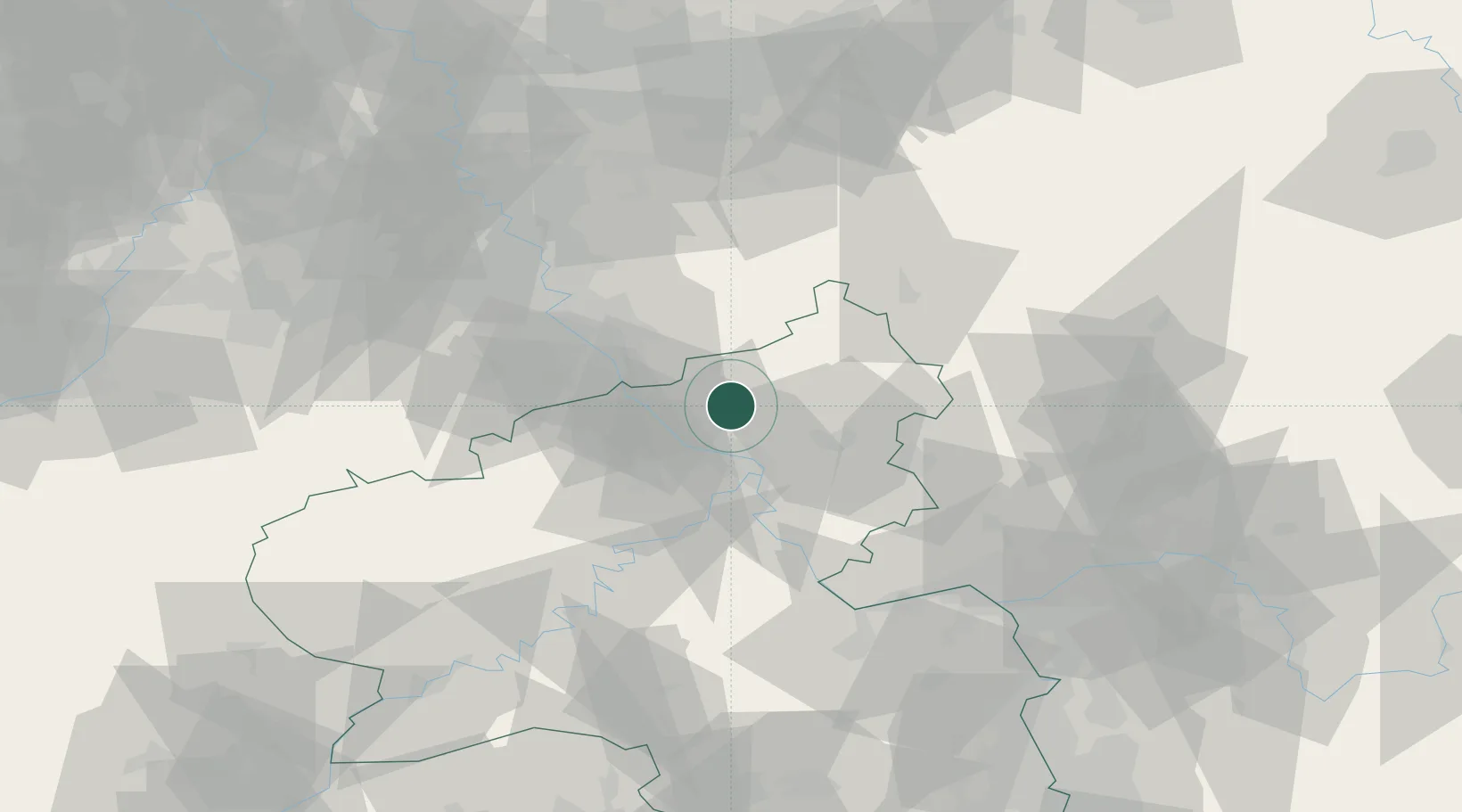
Hub Profile
Place type
Local administrative seat
Region
Rheinland-Pfalz
Population
749
Time zone
Europe/Berlin
Elevation
195 m
Location
Nearby Logistics Neighbours
Cities
- 1Güllesheim4 km
- 2Strassenhaus4 km
- 3Kurtscheid5 km
- 4Rüscheid5 km
- 5Peterslahr6 km
Airports
- 1Cologne Bonn Airport42 km
- 2Siegerland Airport43 km
- 3Büchel Air Base54 km
- 4Nörvenich Air Base67 km
- 5Frankfurt-Hahn Airport71 km
Trade Zones
- 1Rheinische Revier SWZ89 km
- 2Freeport of Duisburg118 km
- 3Luxembourg Free Port138 km
- 4ZFU La Cité Behren-lès-Forbach161 km
- 5ZFU Woippy-Metz185 km
DatabookThe Record of Consolidated Knowledge
Germany beyond logistics?