UN/LOCODE hub · Germany
DEZEW
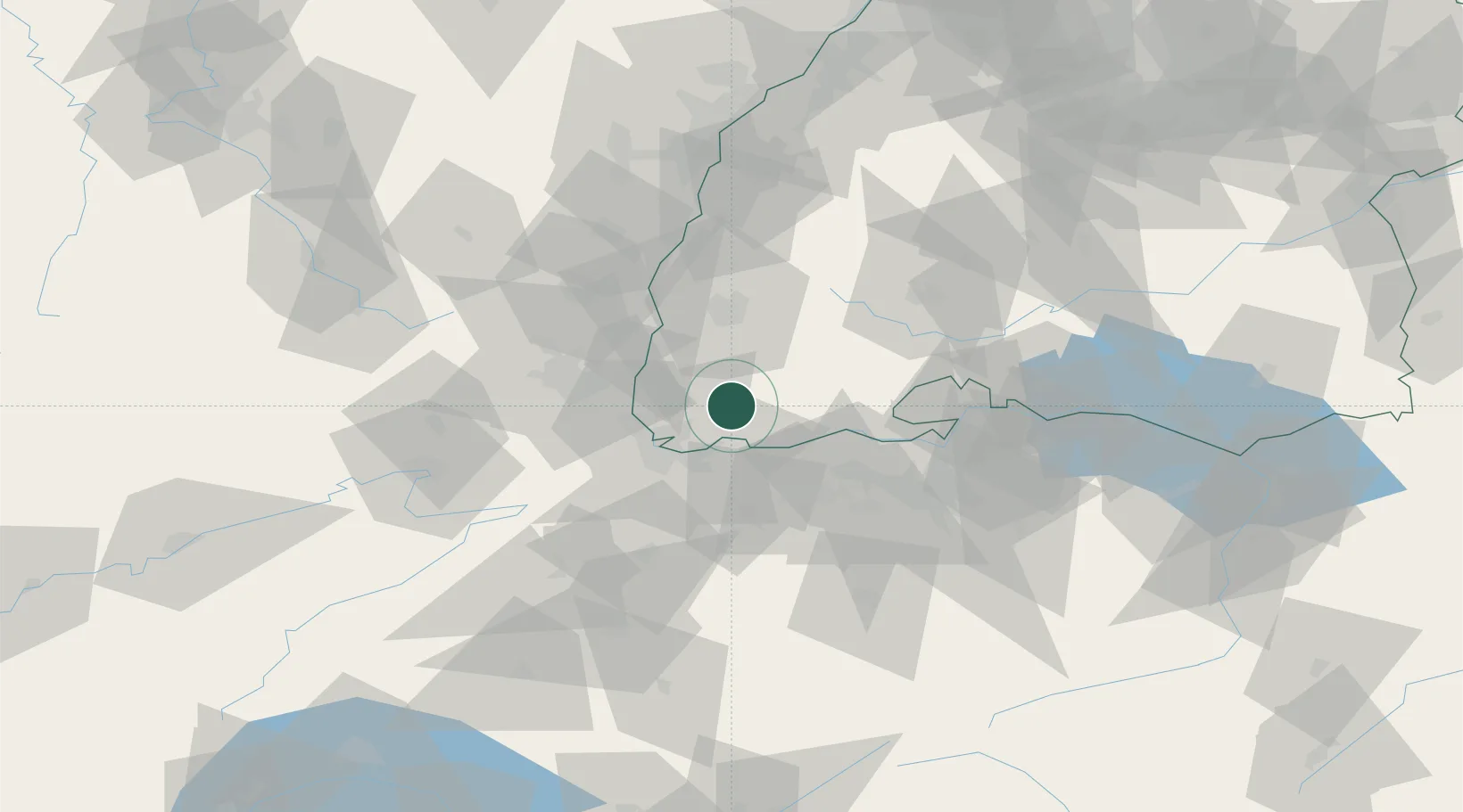
Zell im Wiesental
47.7000°, 7.8500°
6,206
Population
2
Transport functions
Transport Functions
Rail
Road
Hub Profile
Place type
Populated place
Region
Baden-Wurttemberg
Population
6,206
Time zone
Europe/Berlin
Elevation
431 m
Location
Nearby Logistics Neighbours
Cities
- 1Maulburg8 km
- 2Schönau im Schwarzwald10 km
- 3Wehr10 km
- 4Utzenfeld12 km
- 5Rickenbach14 km
Ports
- 1Genova376 km
- 2Savona380 km
- 3Rada Di Vado385 km
- 4Chiavari - Lavagna394 km
- 5Imperia425 km
Airports
Trade Zones
- 1ZFU Mulhouse39 km
- 2ZFU Belfort78 km
- 3ZFU Montbéliard83 km
- 4ZFU Neuhof94 km
- 5ZFU Hautepierre100 km
DatabookThe Record of Consolidated Knowledge
Germany beyond logistics?