Transport Functions
Rail
Road
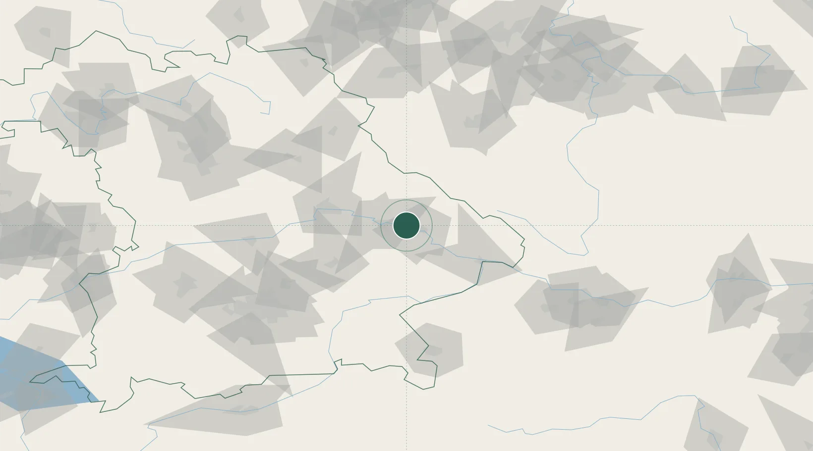
Hub Profile
Place type
Local administrative seat
Region
Bavaria
Population
2,252
Time zone
Europe/Berlin
Elevation
319 m
Location
Nearby Logistics Neighbours
Cities
- 1Strasskirchen8 km
- 2Parkstetten15 km
- 3Gotteszell15 km
- 4Steinach15 km
- 5Deggenau15 km
Ports
- 1Nogaro349 km
- 2Monfalcone349 km
- 3Grado356 km
- 4Trieste366 km
- 5Muggia372 km
Airports
- 1Landshut Airfield70 km
- 2Hohenfels Army Airfield79 km
- 3Plzeň-Líně Airport95 km
- 4Ingolstadt Manching Airport95 km
- 5Munich Airport95 km
Trade Zones
DatabookThe Record of Consolidated Knowledge
Germany beyond logistics?