Transport Functions
Rail
Road
Hub Profile
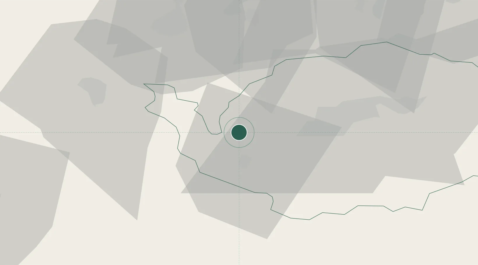
Place type
Populated place
Region
Karlovarský kraj
Population
1,950
Time zone
Europe/Prague
Elevation
465 m
Location
Nearby Logistics Neighbours
Cities
- 1Polna U Jihlavy9 km
- 2Schirnding13 km
- 3Arzberg16 km
- 4Selb17 km
- 5Adorf18 km
Airports
- 1Hof-Plauen Airport39 km
- 2Karlovy Vary Airport39 km
- 3Bayreuth Airport56 km
- 4Grafenwöhr Army Air Field60 km
- 5Plzeň-Líně Airport85 km
Trade Zones
DatabookThe Record of Consolidated Knowledge
Czechia beyond logistics?