Transport Functions
Rail
Road
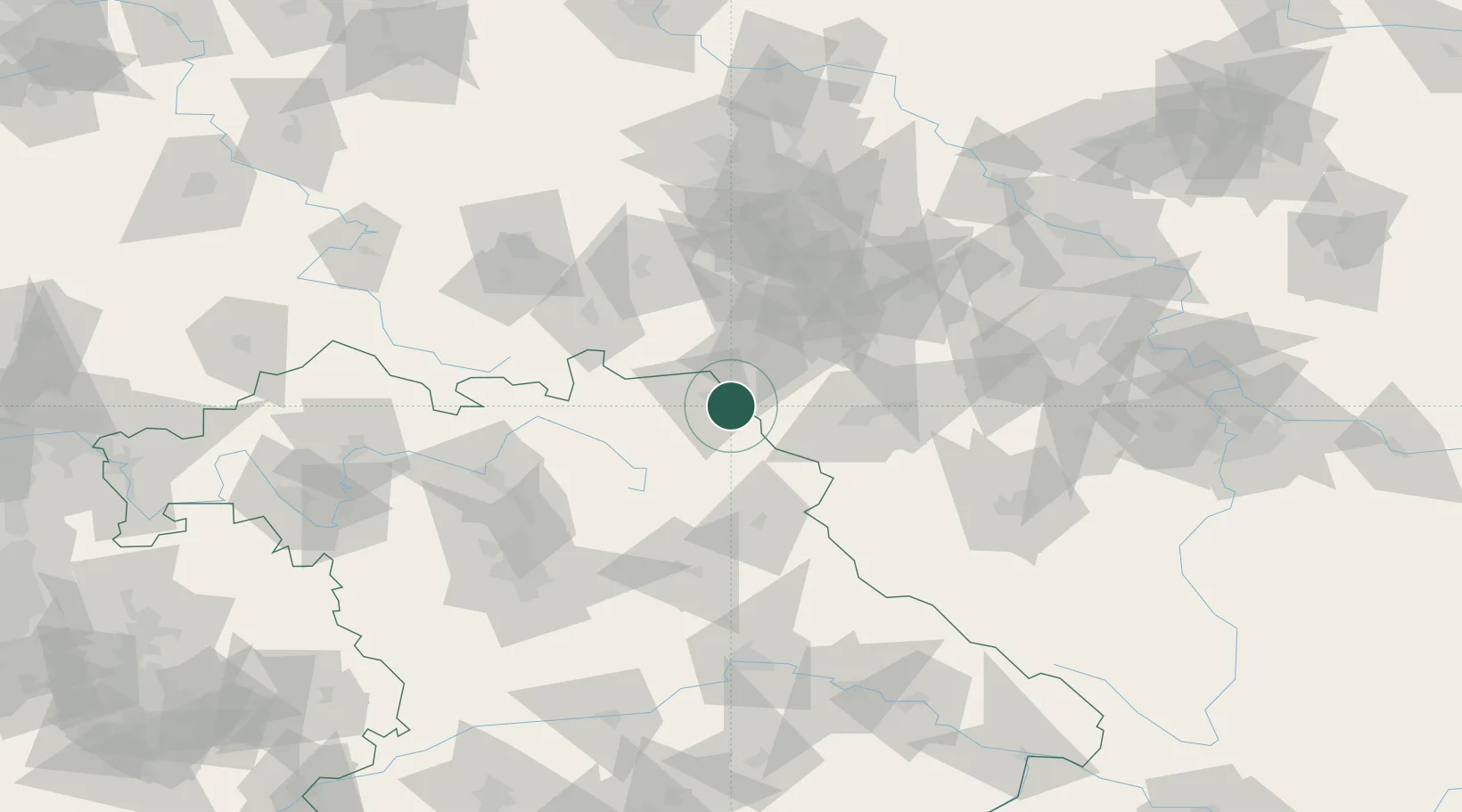
Hub Profile
Place type
Populated place
Region
Bavaria
Population
10,058
Time zone
Europe/Berlin
Elevation
521 m
Location
Nearby Logistics Neighbours
Cities
- 1Oberkotzau7 km
- 2Gattendorf8 km
- 3Hof10 km
- 4Selb12 km
- 5Kirchenlamitz13 km
Airports
- 1Hof-Plauen Airport14 km
- 2Bayreuth Airport41 km
- 3Grafenwöhr Army Air Field62 km
- 4Karlovy Vary Airport63 km
- 5Bamberg-Breitenau Airfield88 km
Trade Zones
DatabookThe Record of Consolidated Knowledge
Germany beyond logistics?