Transport Functions
Rail
Road
Hub Profile
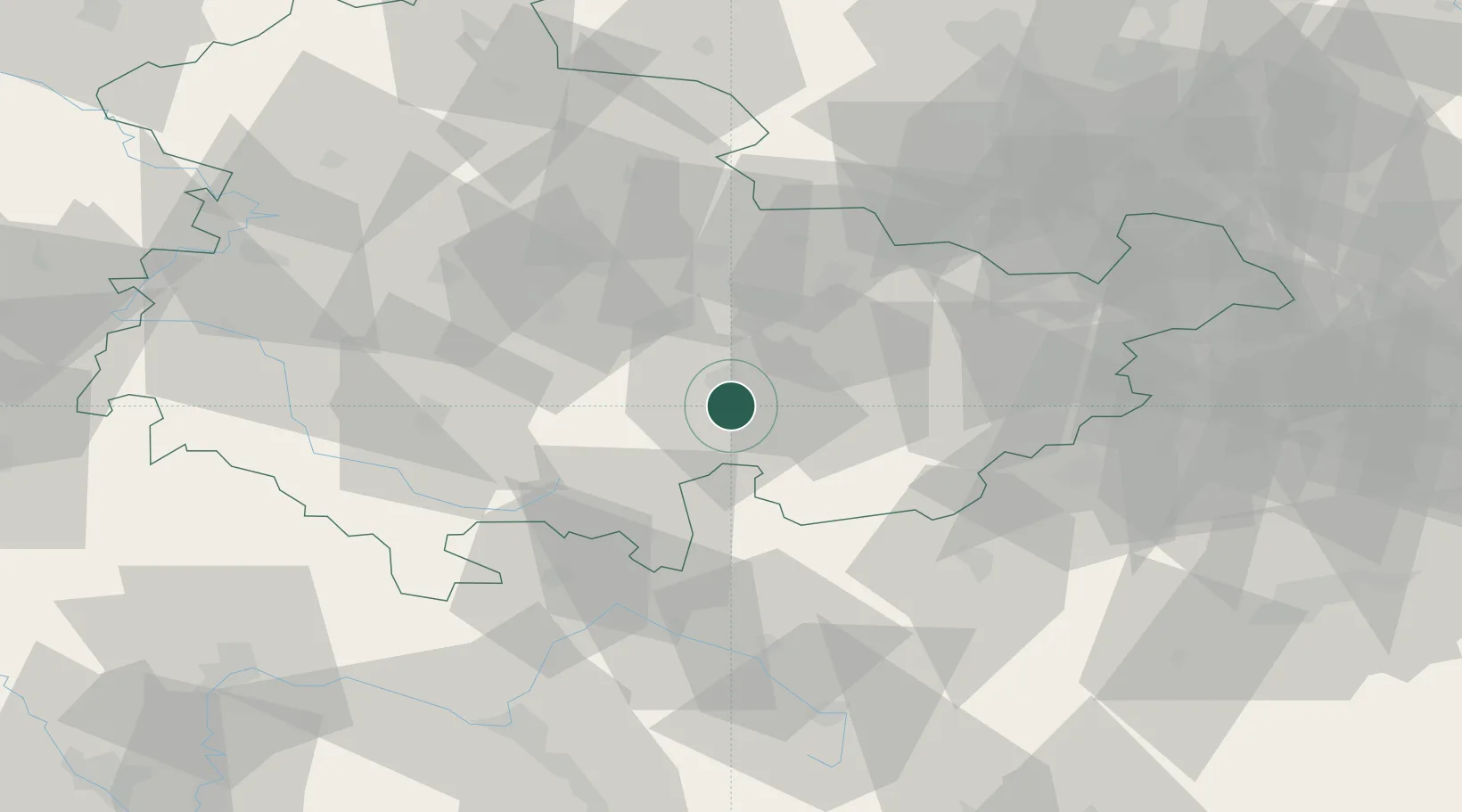
Place type
District seat
Region
Thuringia
Population
28,023
Time zone
Europe/Berlin
Elevation
230 m
Location
Nearby Logistics Neighbours
Cities
- 1Kamsdorf5 km
- 2Könitz7 km
- 3Uhlstadt Kirchhasel11 km
- 4Probstzella13 km
- 5Rottenbach15 km
Airports
- 1Erfurt-Weimar Airport46 km
- 2Hof-Plauen Airport53 km
- 3Eisenach-Kindel Airport73 km
- 4Bayreuth Airport76 km
- 5Bamberg-Breitenau Airfield87 km
Trade Zones
DatabookThe Record of Consolidated Knowledge
Germany beyond logistics?