Transport Functions
Rail
Road
Hub Profile
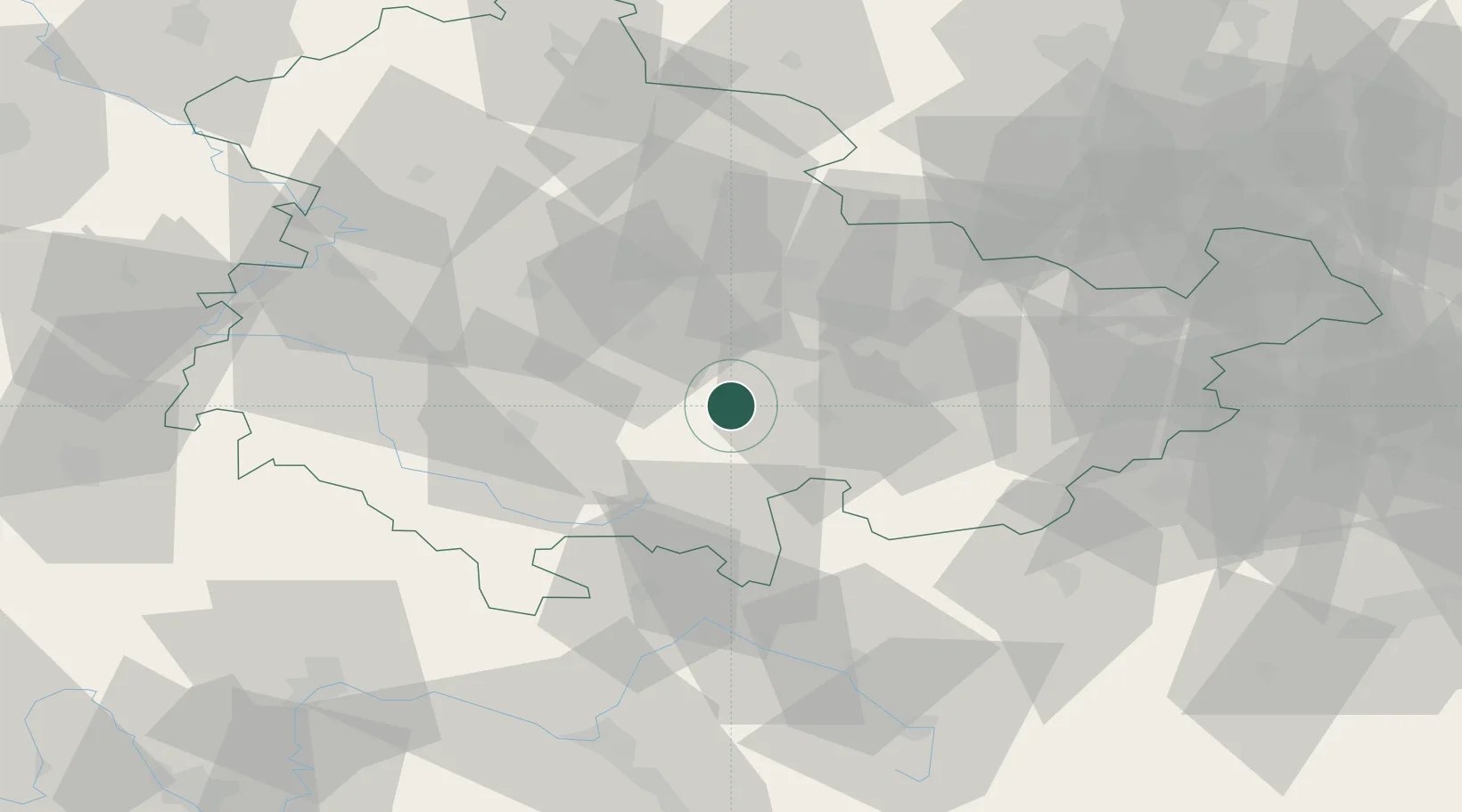
Place type
Populated place
Region
Thuringia
Population
2,036
Time zone
Europe/Berlin
Elevation
280 m
Location
Nearby Logistics Neighbours
Cities
- 1Königsee5 km
- 2Stadtilm11 km
- 3Gehren12 km
- 4Wümbach13 km
- 5Langewiesen13 km
Airports
- 1Erfurt-Weimar Airport36 km
- 2Eisenach-Kindel Airport59 km
- 3Hof-Plauen Airport66 km
- 4Bayreuth Airport85 km
- 5Bamberg-Breitenau Airfield87 km
Trade Zones
DatabookThe Record of Consolidated Knowledge
Germany beyond logistics?