Transport Functions
Multimodal
Hub Profile
Place type
Local administrative seat
Region
Thuringia
Population
2,951
Time zone
Europe/Berlin
Elevation
355 m
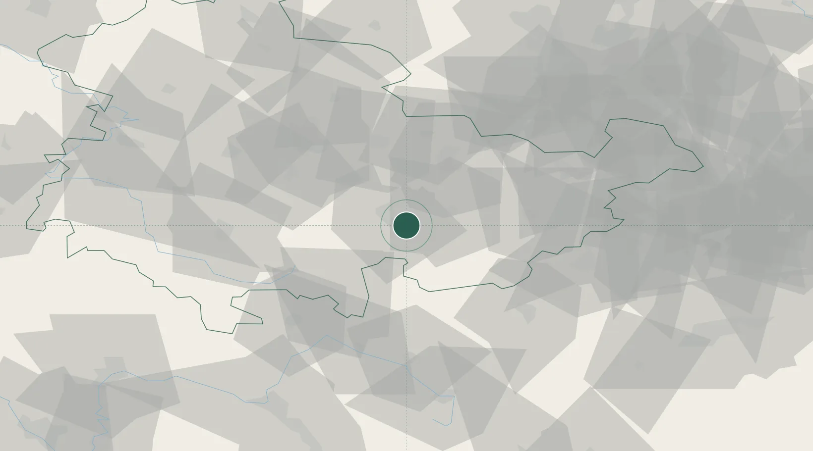
Location
Nearby Logistics Neighbours
Cities
- 1Könitz2 km
- 2Saalfeld5 km
- 3Uhlstadt Kirchhasel9 km
- 4Probstzella13 km
- 5Rottenbach19 km
Airports
- 1Erfurt-Weimar Airport49 km
- 2Hof-Plauen Airport50 km
- 3Bayreuth Airport75 km
- 4Eisenach-Kindel Airport77 km
- 5Leipzig–Altenburg Airport84 km
Trade Zones
DatabookThe Record of Consolidated Knowledge
Germany beyond logistics?