UN/LOCODE hub · Germany
DEUKL

Uhlstadt Kirchhasel

50.7333°, 11.4500°
1
Transport functions

Transport Functions

Multimodal
UN/LOCODE

Hub Profile

Region
TH
GeoNames

Location

Location of DEUKL
Natural Earth 10m (public domain) · TH · DEUKL · 50.73, 11.45GoogleOSMYandex

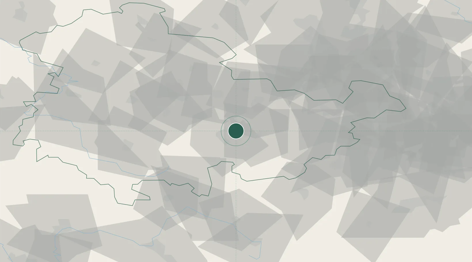
Nearby Logistics Neighbours

Cities
  1. 1Könitz9 km
  2. 2Kamsdorf9 km
  3. 3Saalfeld11 km
  4. 4Blankenhain15 km
  5. 5Rottenbach21 km
Nearest neighbours — logibook spatial index (haversine) over the source coordinates
Ports
  1. 1Bremen324 km
  2. 2Hamburg330 km
  3. 3Elsfleth345 km
  4. 4Oldenburg346 km
  5. 5Butzfleth350 km
Nearest neighbours — logibook spatial index (haversine) over the source coordinates
Airports
  1. 1Erfurt-Weimar Airport44 km
  2. 2Hof-Plauen Airport57 km
  3. 3Eisenach-Kindel Airport74 km
  4. 4Leipzig–Altenburg Airport79 km
  5. 5Bayreuth Airport84 km
Nearest neighbours — logibook spatial index (haversine) over the source coordinates
Trade Zones
  1. 1Podbořany Industrial Zone149 km
  2. 2Žatec - Triangle Strategic Industrial Zone151 km
  3. 3Most - Joseph Industrial Zone157 km
  4. 4Freeport of Deggendorf234 km
  5. 5Kolín - Ovčáry Industrial Zone277 km
Nearest neighbours — logibook spatial index (haversine) over the source coordinates
DatabookThe Record of Consolidated Knowledge
Germany beyond logistics?
Browse databook

All Sources

LocationsUN/LOCODE
UN/LOCODE — free
Portsthe NGA World Port Index
Public domain (US gov)
AirportsOurAirports
Public domain
Trade Zonesthe World Bank SEZ database
CC BY 4.0
Trade ZonesOpen Zone Map
CC BY
← Germany locations