Transport Functions
Road
Multimodal
Hub Profile
Place type
Local administrative seat
Region
Bavaria
Population
2,173
Time zone
Europe/Berlin
Elevation
553 m
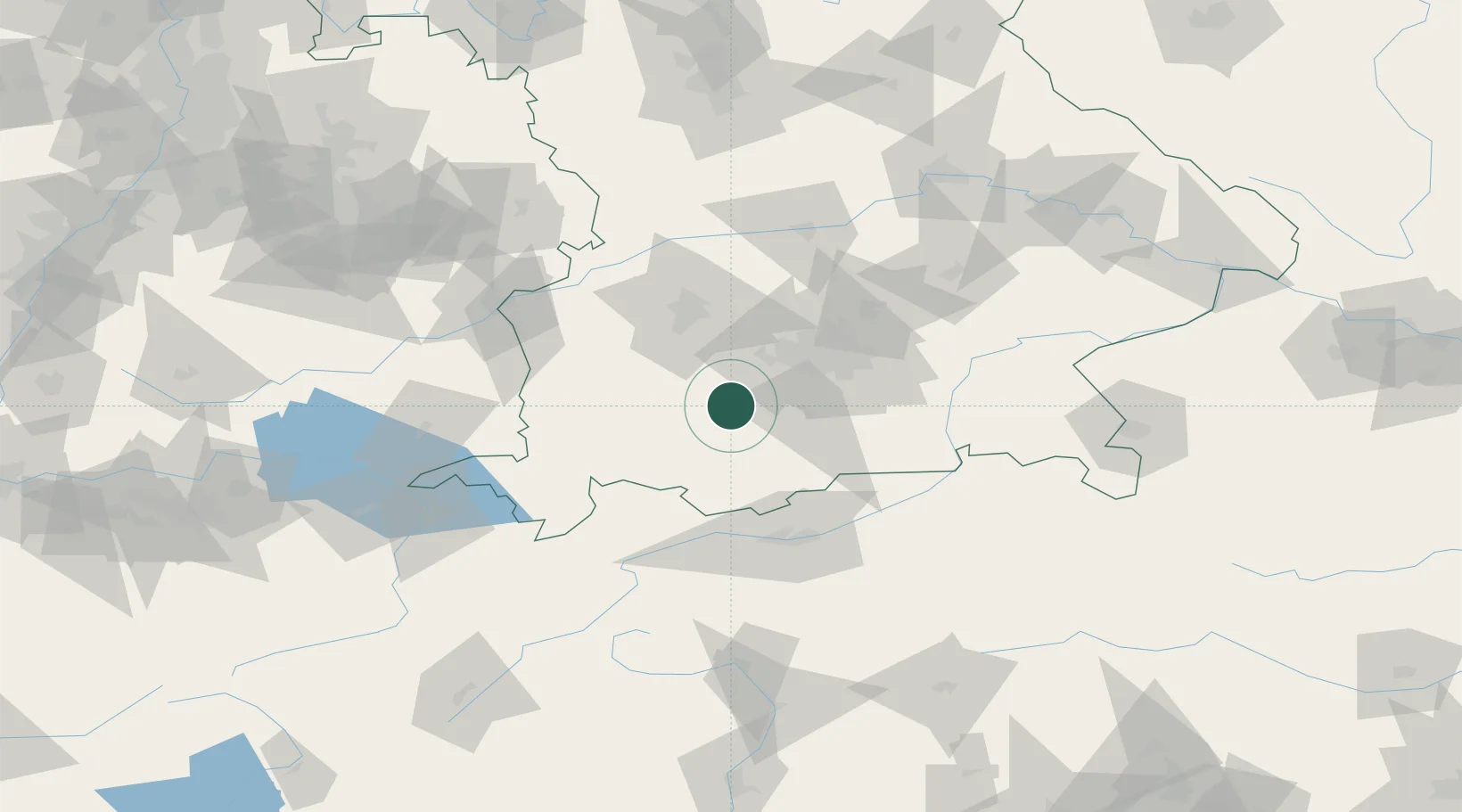
Location
Nearby Logistics Neighbours
Cities
- 1Wessobrunn6 km
- 2Pähl7 km
- 3Wielenbach7 km
- 4Weilheim in Oberbayern10 km
- 5Polling, Weilheim-Schongau11 km
Ports
- 1Nogaro287 km
- 2Porto Di Lido-Venezia296 km
- 3Grado298 km
- 4Monfalcone302 km
- 5Porto Di Chioggia312 km
Airports
- 1Oberpfaffenhofen Airport23 km
- 2Lechfeld Air Base35 km
- 3Altstetten Ultralight Field46 km
- 4Augsburg Airport58 km
- 5Memmingen Allgau Airport65 km
Trade Zones
- 1Freeport of Deggendorf169 km
- 2Livigno Free Trade Zone172 km
- 3ZFU Neuhof257 km
- 4ZFU Hautepierre263 km
- 5ZFU Mulhouse282 km
DatabookThe Record of Consolidated Knowledge
Germany beyond logistics?