Transport Functions
Port
Rail
Road
Hub Profile
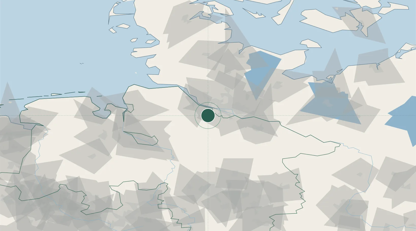
Place type
Local administrative seat
Region
Lower Saxony
Population
38,192
Time zone
Europe/Berlin
Elevation
10 m
Location
Nearby Logistics Neighbours
Cities
- 1Neu Wulmstorf7 km
- 2Rosengarten12 km
- 3Dollern14 km
- 4Finkenwerder14 km
- 5Drestedt14 km
Ports
- 1Hamburg19 km
- 2Butzfleth25 km
- 3Gluckstadt42 km
- 4Itzehoe53 km
- 5Neuhaus59 km
Airports
- 1Hamburg-Finkenwerder Airport13 km
- 2Uetersen-Heist Airfield22 km
- 3Hamburg Helmut Schmidt Airport28 km
- 4Faßberg Air Base67 km
- 5Bremen Airport75 km
Trade Zones
DatabookThe Record of Consolidated Knowledge
Germany beyond logistics?