Transport Functions
Rail
Road
Hub Profile
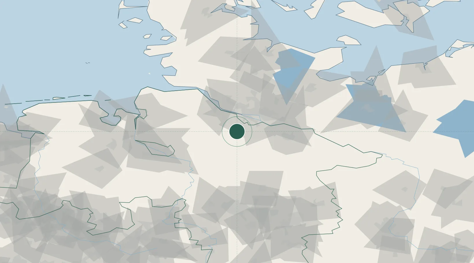
Place type
Local administrative seat
Region
Lower Saxony
Population
758
Time zone
Europe/Berlin
Elevation
42 m
Location
Nearby Logistics Neighbours
Cities
- 1Buchholz in der Nordheide7 km
- 2Buchholz7 km
- 3Wistedt9 km
- 4Handeloh10 km
- 5Rosengarten11 km
Ports
- 1Hamburg27 km
- 2Butzfleth39 km
- 3Gluckstadt55 km
- 4Itzehoe67 km
- 5Bremen70 km
Airports
- 1Hamburg-Finkenwerder Airport23 km
- 2Uetersen-Heist Airfield35 km
- 3Hamburg Helmut Schmidt Airport36 km
- 4Faßberg Air Base54 km
- 5Bremen Airport73 km
Trade Zones
DatabookThe Record of Consolidated Knowledge
Germany beyond logistics?