Transport Functions
Rail
Road
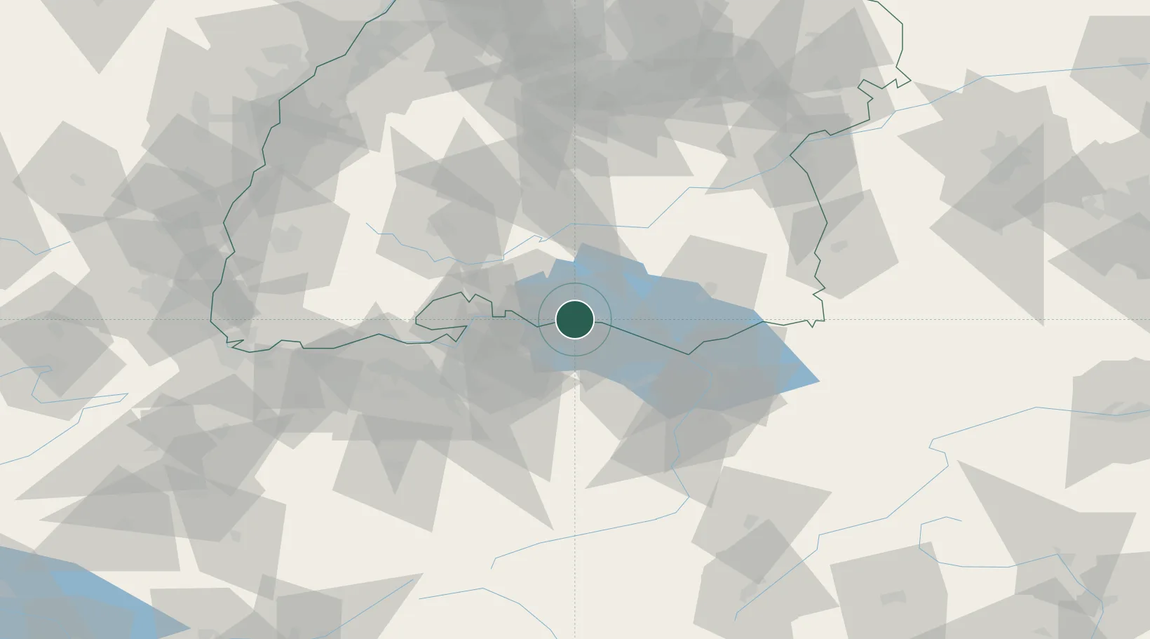
Hub Profile
Place type
Local administrative seat
Region
Baden-Wurttemberg
Population
5,144
Time zone
Europe/Berlin
Elevation
409 m
Location
Nearby Logistics Neighbours
Cities
- 1Ermatingen2 km
- 2Salenstein2 km
- 3Gottlieben5 km
- 4Nussdorf12 km
- 5Felben14 km
Ports
- 1Porto Di Lido-Venezia360 km
- 2Genova366 km
- 3Porto Di Chioggia368 km
- 4Chiavari - Lavagna376 km
- 5Savona377 km
Airports
Trade Zones
- 1ZFU Mulhouse130 km
- 2ZFU Neuhof136 km
- 3ZFU Hautepierre144 km
- 4Livigno Free Trade Zone150 km
- 5ZFU Belfort169 km
DatabookThe Record of Consolidated Knowledge
Germany beyond logistics?