Transport Functions
Rail
Road
Hub Profile
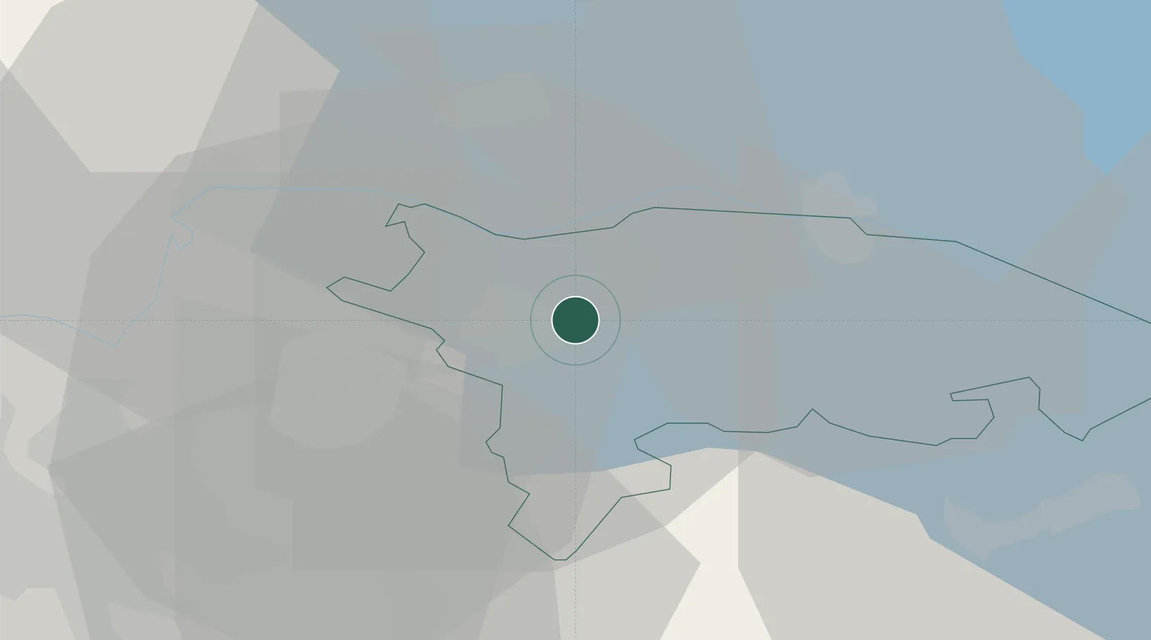
Place type
Populated place
Region
Thurgau
Time zone
Europe/Zurich
Elevation
396 m
Location
Nearby Logistics Neighbours
Cities
- 1Matzingen8 km
- 2Wängi9 km
- 3Eschenz10 km
- 4Affeltrangen10 km
- 5Tobel10 km
Ports
- 1Genova354 km
- 2Porto Di Lido-Venezia359 km
- 3Savona365 km
- 4Chiavari - Lavagna366 km
- 5Porto Di Chioggia366 km
Airports
Trade Zones
- 1ZFU Mulhouse122 km
- 2ZFU Neuhof138 km
- 3Livigno Free Trade Zone146 km
- 4ZFU Hautepierre146 km
- 5ZFU Belfort161 km
DatabookThe Record of Consolidated Knowledge
Switzerland beyond logistics?