Transport Functions
Port
Multimodal
Hub Profile
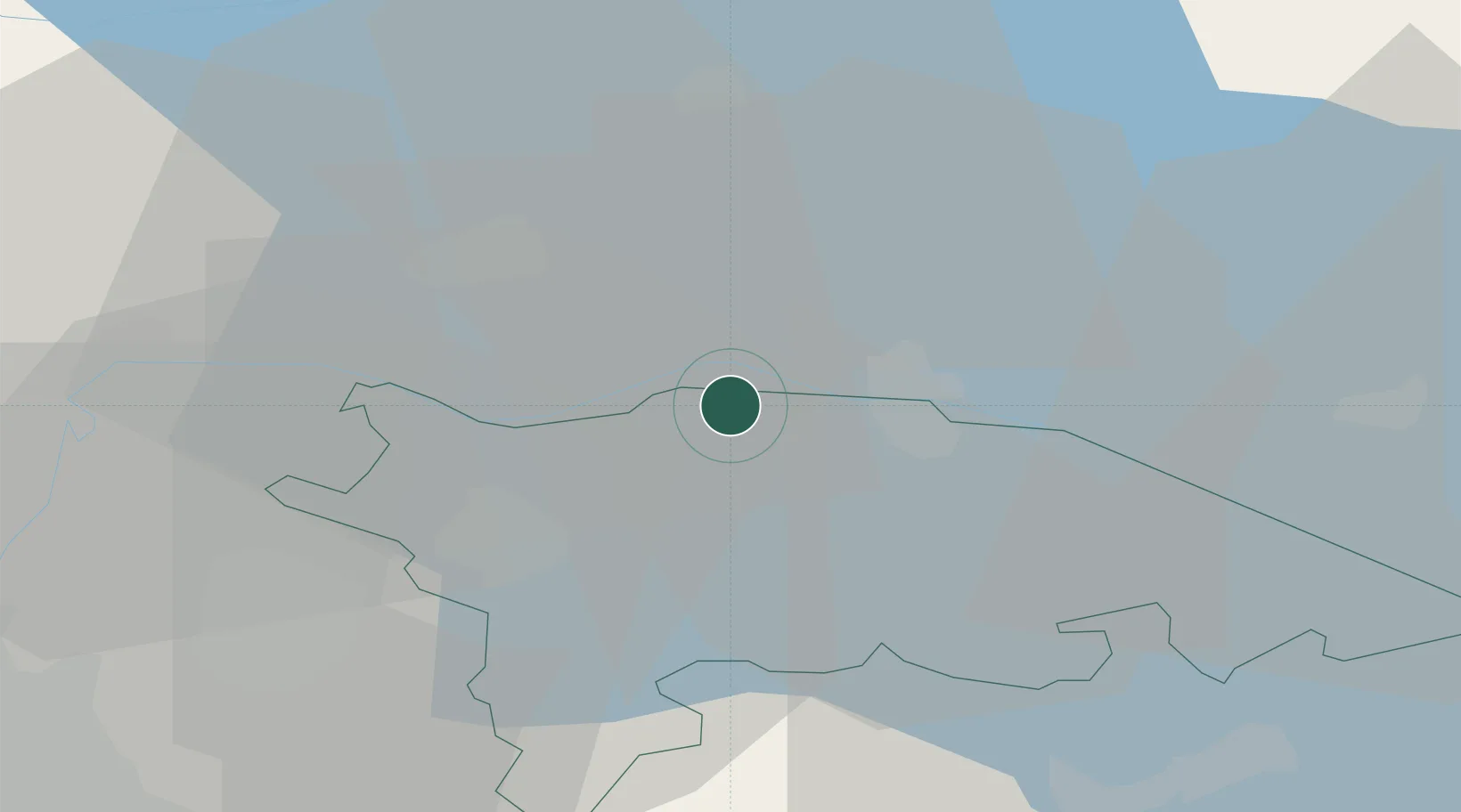
Place type
Populated place
Region
Thurgau
Time zone
Europe/Zurich
Elevation
500 m
Location
Nearby Logistics Neighbours
Cities
- 1Reichenau2 km
- 2Ermatingen3 km
- 3Gottlieben6 km
- 4Felben12 km
- 5Eschenz14 km
Ports
- 1Porto Di Lido-Venezia360 km
- 2Genova364 km
- 3Porto Di Chioggia368 km
- 4Chiavari - Lavagna374 km
- 5Savona375 km
Airports
Trade Zones
- 1ZFU Mulhouse129 km
- 2ZFU Neuhof136 km
- 3ZFU Hautepierre144 km
- 4Livigno Free Trade Zone149 km
- 5ZFU Belfort168 km
DatabookThe Record of Consolidated Knowledge
Switzerland beyond logistics?