Transport Functions
Multimodal
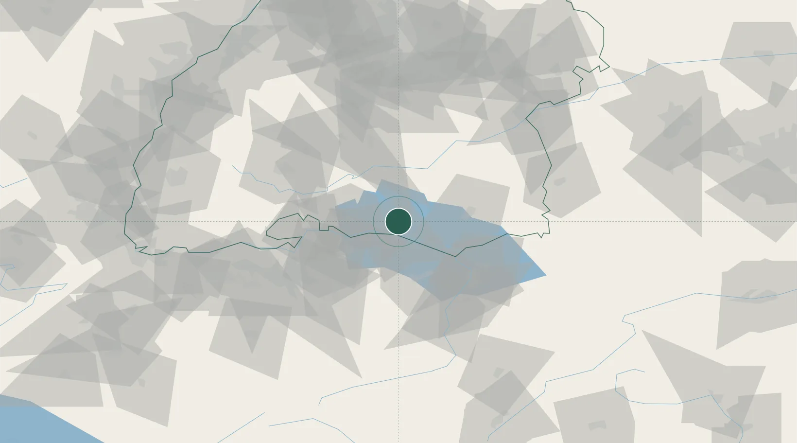
Hub Profile
Place type
Populated place
Region
Baden-Wurttemberg
Time zone
Europe/Berlin
Elevation
406 m
Location
Nearby Logistics Neighbours
Cities
- 1Salem7 km
- 2Frickingen8 km
- 3Bermatingen10 km
- 4Gottlieben11 km
- 5Heiligenberg11 km
Ports
- 1Porto Di Lido-Venezia358 km
- 2Porto Di Chioggia367 km
- 3Genova373 km
- 4Nogaro375 km
- 5Chiavari - Lavagna383 km
Airports
Trade Zones
- 1ZFU Neuhof138 km
- 2ZFU Mulhouse139 km
- 3ZFU Hautepierre146 km
- 4Livigno Free Trade Zone152 km
- 5ZFU Belfort180 km
DatabookThe Record of Consolidated Knowledge
Germany beyond logistics?