Transport Functions
Rail
Road
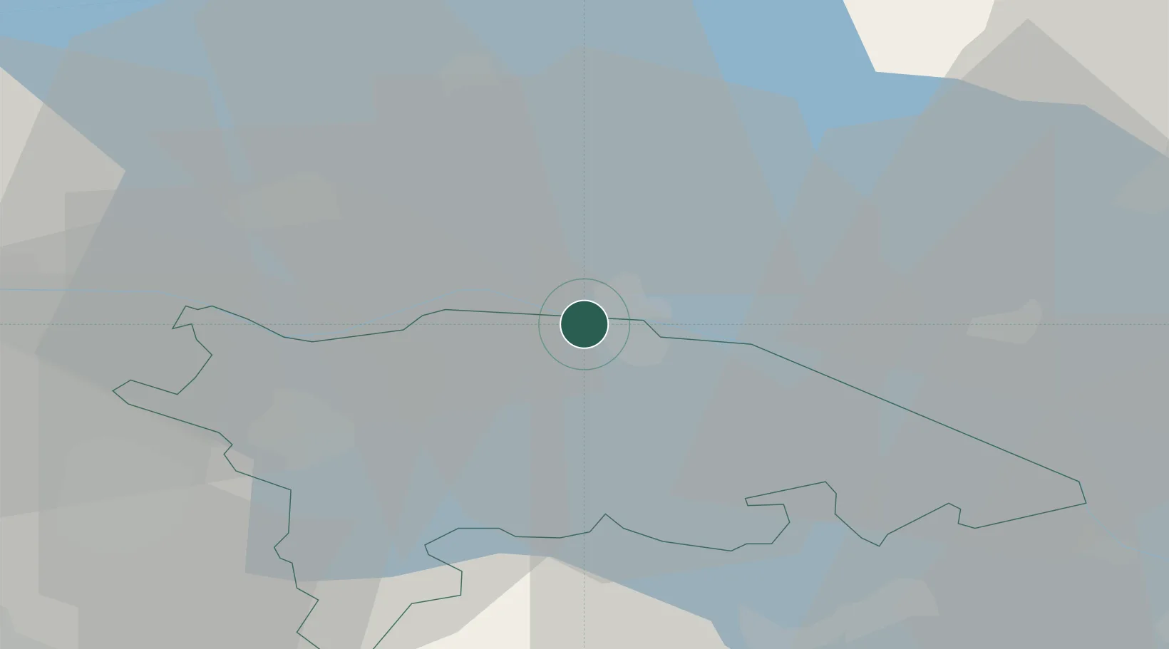
Hub Profile
Place type
District seat
Region
Thurgau
Population
290
Time zone
Europe/Zurich
Elevation
400 m
Location
Nearby Logistics Neighbours
Cities
- 1Ermatingen4 km
- 2Reichenau5 km
- 3Salenstein6 km
- 4Nussdorf11 km
- 5Güttingen14 km
Ports
- 1Porto Di Lido-Venezia355 km
- 2Porto Di Chioggia363 km
- 3Genova364 km
- 4Nogaro374 km
- 5Chiavari - Lavagna374 km
Airports
Trade Zones
- 1ZFU Mulhouse135 km
- 2ZFU Neuhof141 km
- 3Livigno Free Trade Zone146 km
- 4ZFU Hautepierre149 km
- 5ZFU Belfort174 km
DatabookThe Record of Consolidated Knowledge
Switzerland beyond logistics?