Transport Functions
Port
Road
Hub Profile
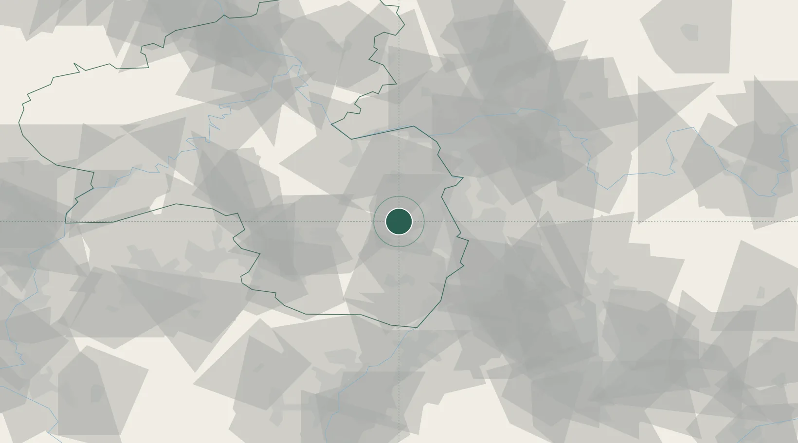
Place type
Local administrative seat
Region
Rheinland-Pfalz
Population
883
Time zone
Europe/Berlin
Elevation
236 m
Location
Nearby Logistics Neighbours
Cities
- 1Kleinkarlbach0 km
- 2Kirchheim2 km
- 3Dackenheim4 km
- 4Herxheim am Berg4 km
- 5Bissersheim5 km
Airports
- 1Mannheim-City Airport28 km
- 2Ramstein Air Base40 km
- 3Mainz-Finthen Airfield48 km
- 4Wiesbaden Army Airfield59 km
- 5Frankfurt-Egelsbach Airport60 km
Trade Zones
- 1ZFU La Cité Behren-lès-Forbach96 km
- 2ZFU Hautepierre109 km
- 3ZFU Neuhof114 km
- 4Luxembourg Free Port138 km
- 5ZFU Woippy-Metz150 km
DatabookThe Record of Consolidated Knowledge
Germany beyond logistics?