UN/LOCODE hub · Germany
DEXME
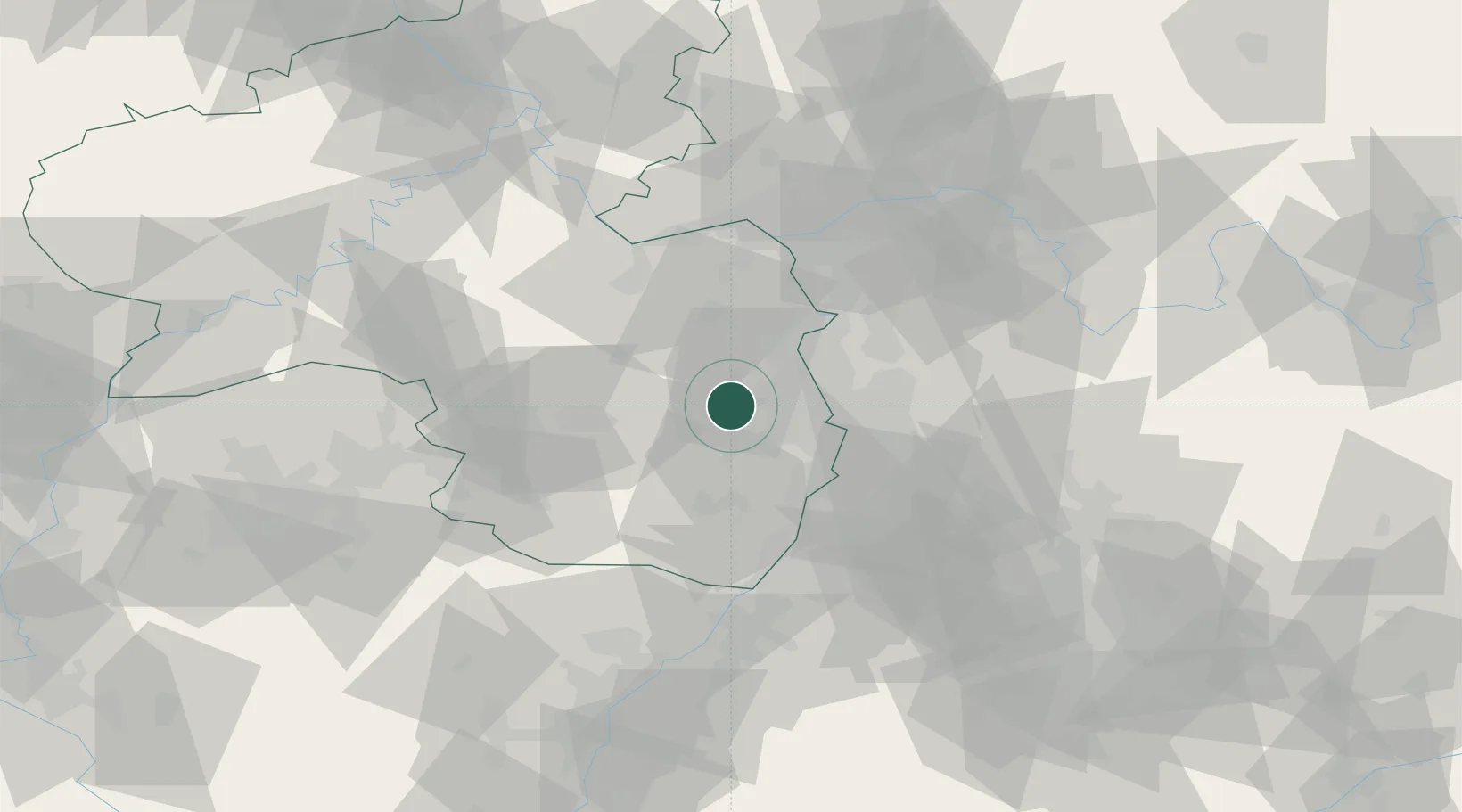
Herxheim am Berg
49.5000°, 8.1667°
10,424
Population
1
Transport functions
Transport Functions
Multimodal
Hub Profile
Place type
Local administrative seat
Region
Rheinland-Pfalz
Population
10,424
Time zone
Europe/Berlin
Elevation
203 m
Location
Nearby Logistics Neighbours
Cities
- 1Kallstadt2 km
- 2Dackenheim2 km
- 3Kirchheim4 km
- 4Bissersheim4 km
- 5Kleinkarlbach4 km
Airports
- 1Mannheim-City Airport25 km
- 2Ramstein Air Base42 km
- 3Mainz-Finthen Airfield52 km
- 4Frankfurt-Egelsbach Airport62 km
- 5Wiesbaden Army Airfield62 km
Trade Zones
- 1ZFU La Cité Behren-lès-Forbach97 km
- 2ZFU Hautepierre106 km
- 3ZFU Neuhof111 km
- 4Luxembourg Free Port141 km
- 5ZFU Woippy-Metz151 km
DatabookThe Record of Consolidated Knowledge
Germany beyond logistics?