Transport Functions
Rail
Road
Hub Profile
Region
BY
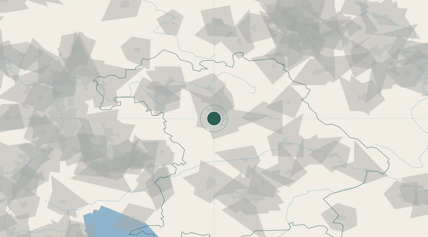
Location
Nearby Logistics Neighbours
Cities
- 1Zirndorf2 km
- 2Fürth4 km
- 3Rosstal6 km
- 4Ammerndorf7 km
- 5Nürnberg8 km
Ports
- 1Bremen439 km
- 2Nogaro441 km
- 3Monfalcone450 km
- 4Grado451 km
- 5Oldenburg452 km
Airports
- 1Nuremberg Airport12 km
- 2Bamberg-Breitenau Airfield54 km
- 3Hohenfels Army Airfield69 km
- 4Niederstetten Army Air Base72 km
- 5Grafenwöhr Army Air Field77 km
Trade Zones
- 1Freeport of Deggendorf156 km
- 2Podbořany Industrial Zone197 km
- 3Žatec - Triangle Strategic Industrial Zone213 km
- 4Most - Joseph Industrial Zone225 km
- 5ZFU Neuhof253 km
DatabookThe Record of Consolidated Knowledge
Germany beyond logistics?