UN/LOCODE hub · Germany
DEN62

Neuendorf am Main

50.0333°, 9.6500°
2
Transport functions

Transport Functions

Road
Multimodal
UN/LOCODE

Hub Profile

Region
BY
GeoNames

Location

Location of DEN62
Natural Earth 10m (public domain) · BY · DEN62 · 50.03, 9.65GoogleOSMYandex

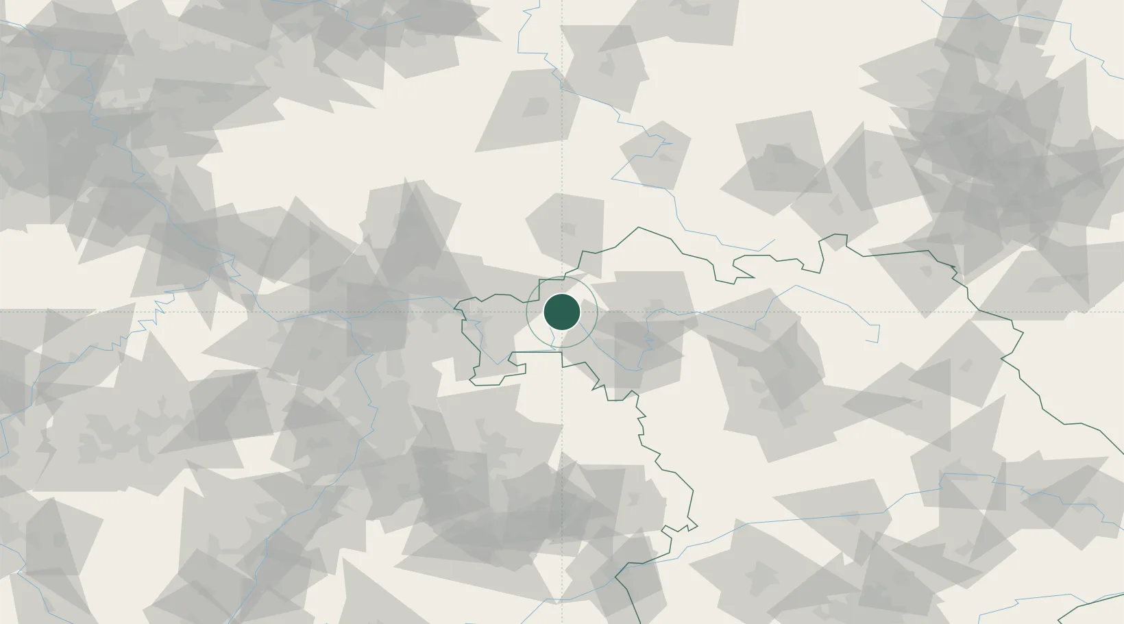
Nearby Logistics Neighbours

Cities
  1. 1Rieneck6 km
  2. 2Lohr7 km
  3. 3Steinfeld9 km
  4. 4Gössenheim10 km
  5. 5Frammersbach14 km
Nearest neighbours — logibook spatial index (haversine) over the source coordinates
Ports
  1. 1Bremen350 km
  2. 2Oldenburg357 km
  3. 3Elsfleth365 km
  4. 4Papenburg375 km
  5. 5Brake376 km
Nearest neighbours — logibook spatial index (haversine) over the source coordinates
Airports
  1. 1Frankfurt-Egelsbach Airport72 km
  2. 2Niederstetten Army Air Base75 km
  3. 3Frankfurt Main Airport78 km
  4. 4Bamberg-Breitenau Airfield91 km
  5. 5Wiesbaden Army Airfield95 km
Nearest neighbours — logibook spatial index (haversine) over the source coordinates
Trade Zones
  1. 1ZFU Hautepierre214 km
  2. 2ZFU Neuhof215 km
  3. 3ZFU La Cité Behren-lès-Forbach219 km
  4. 4Luxembourg Free Port250 km
  5. 5Rheinische Revier SWZ251 km
Nearest neighbours — logibook spatial index (haversine) over the source coordinates
DatabookThe Record of Consolidated Knowledge
Germany beyond logistics?
Browse databook

All Sources

LocationsUN/LOCODE
UN/LOCODE — free
Portsthe NGA World Port Index
Public domain (US gov)
AirportsOurAirports
Public domain
Trade Zonesthe World Bank SEZ database
CC BY 4.0
Trade ZonesOpen Zone Map
CC BY
← Germany locations